Rennes Damhsafest Group, 22 July 2010

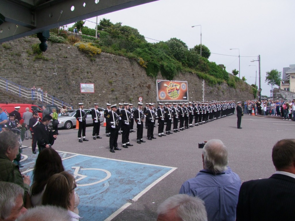
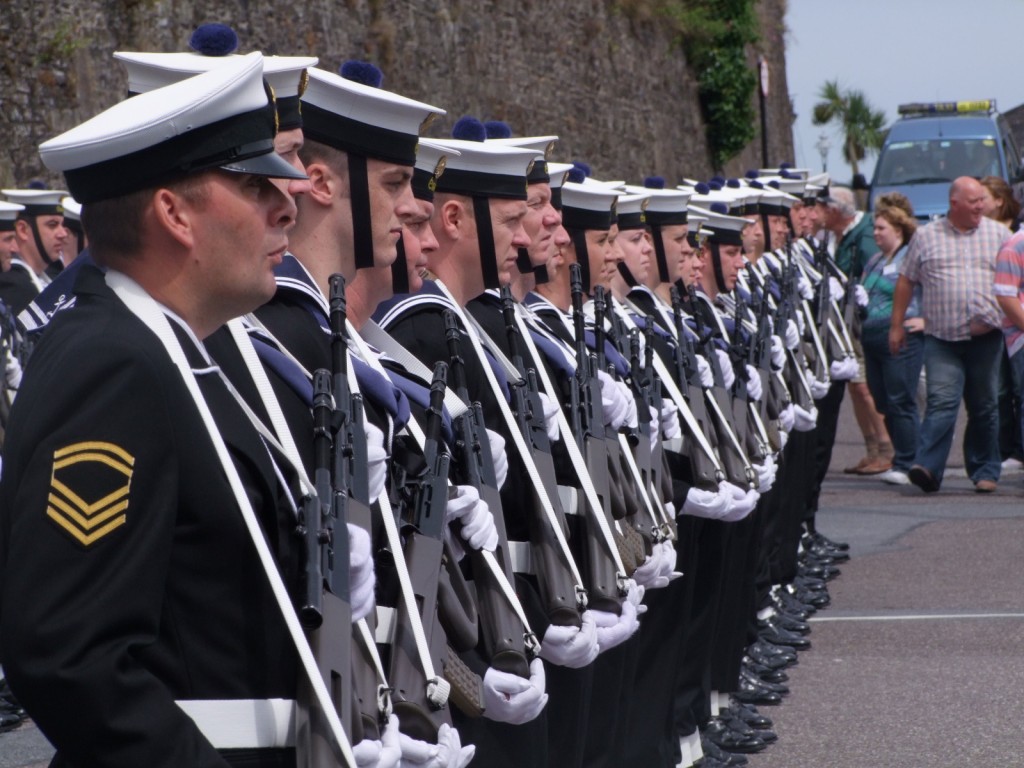
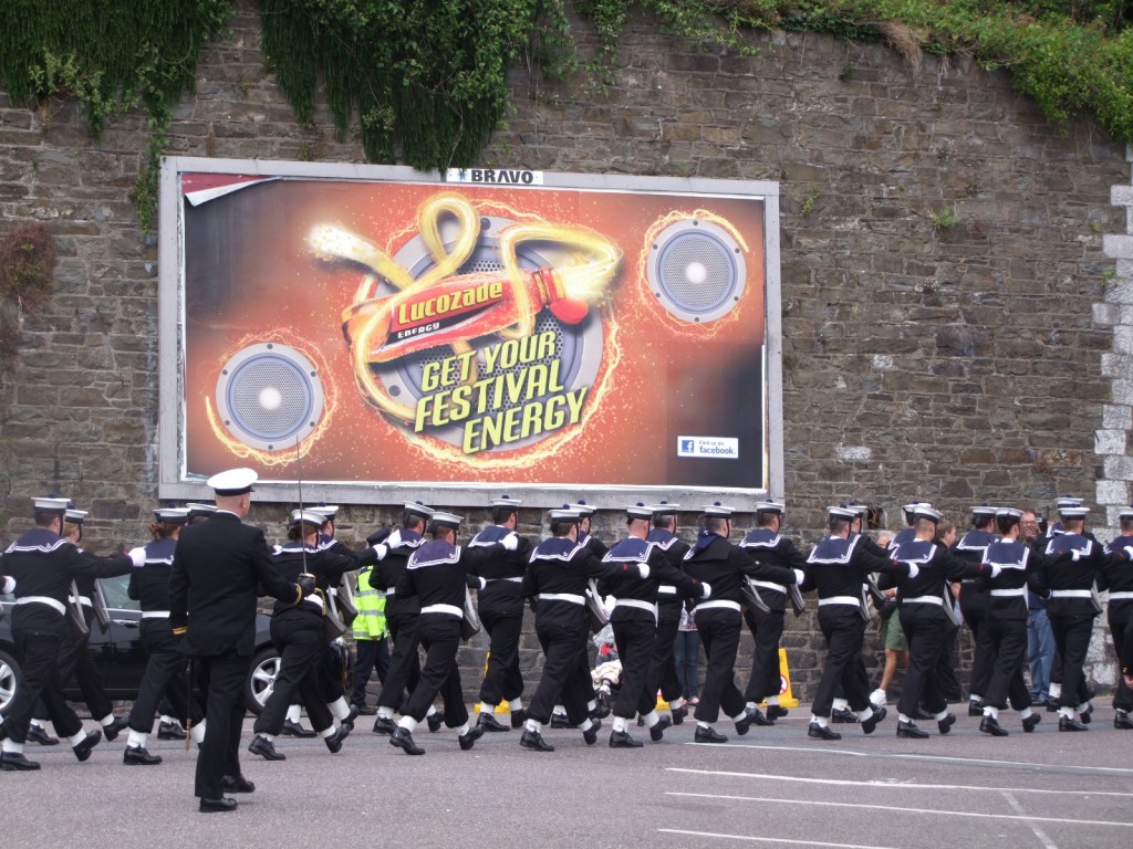
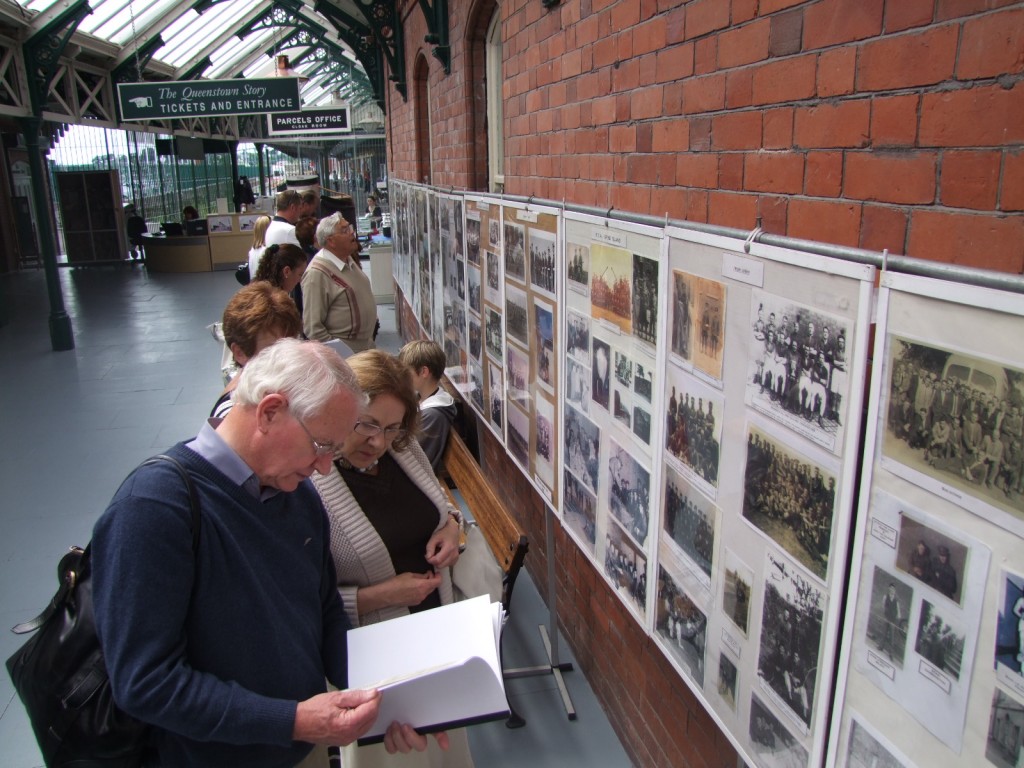
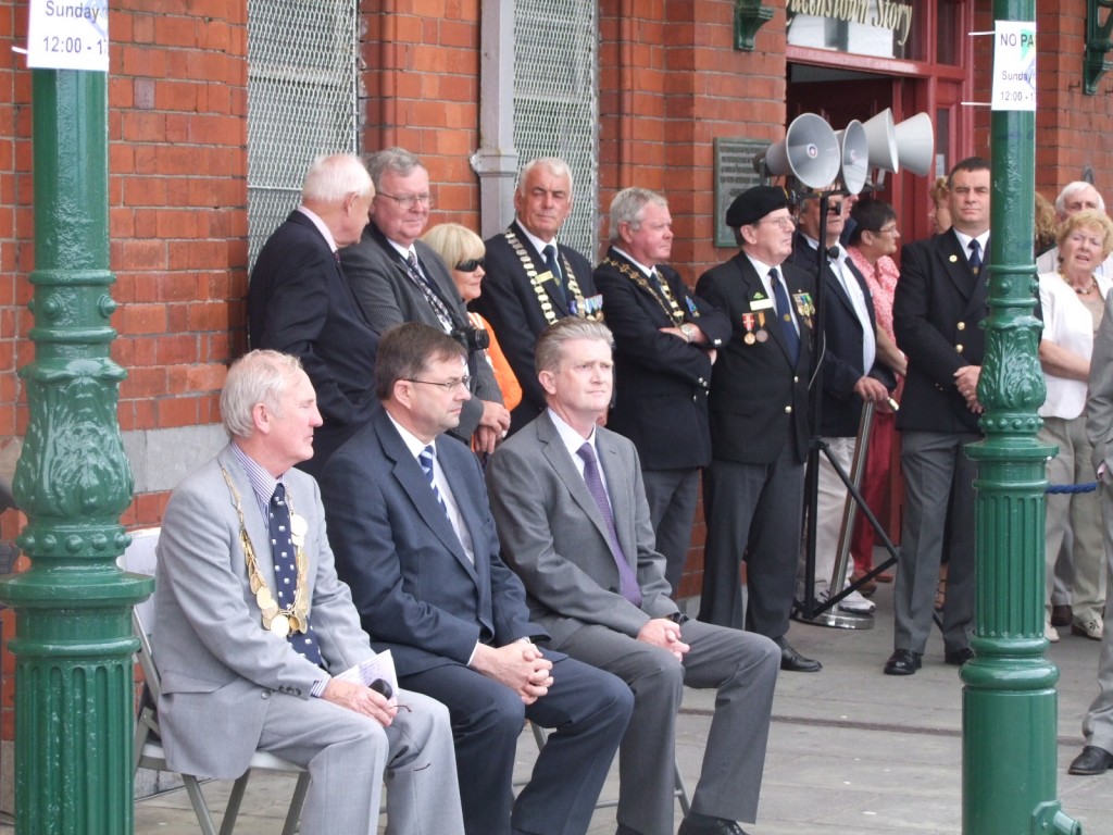
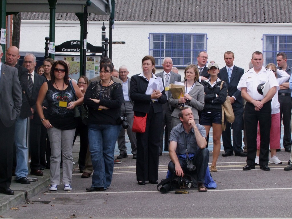
On last Thursday, a group from Rennes (one of Cork’s sister-twinning cities) visited City Hall. They were in Cork as part of the Damhsafest 2010. Later in the day, I gave them a short historical walking tour of the city. Thanks to Barry Cogan and his team for looking after them during their visit in Cork for Damhsafest 2010.

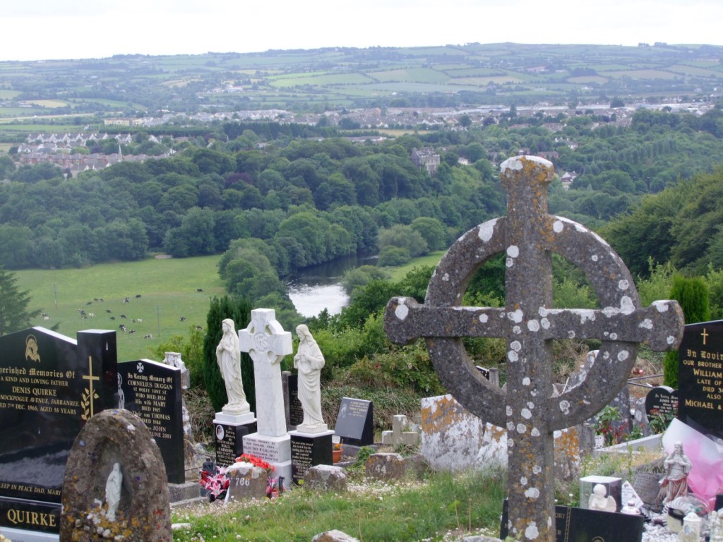
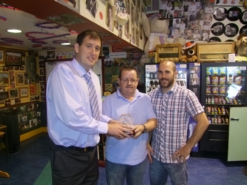
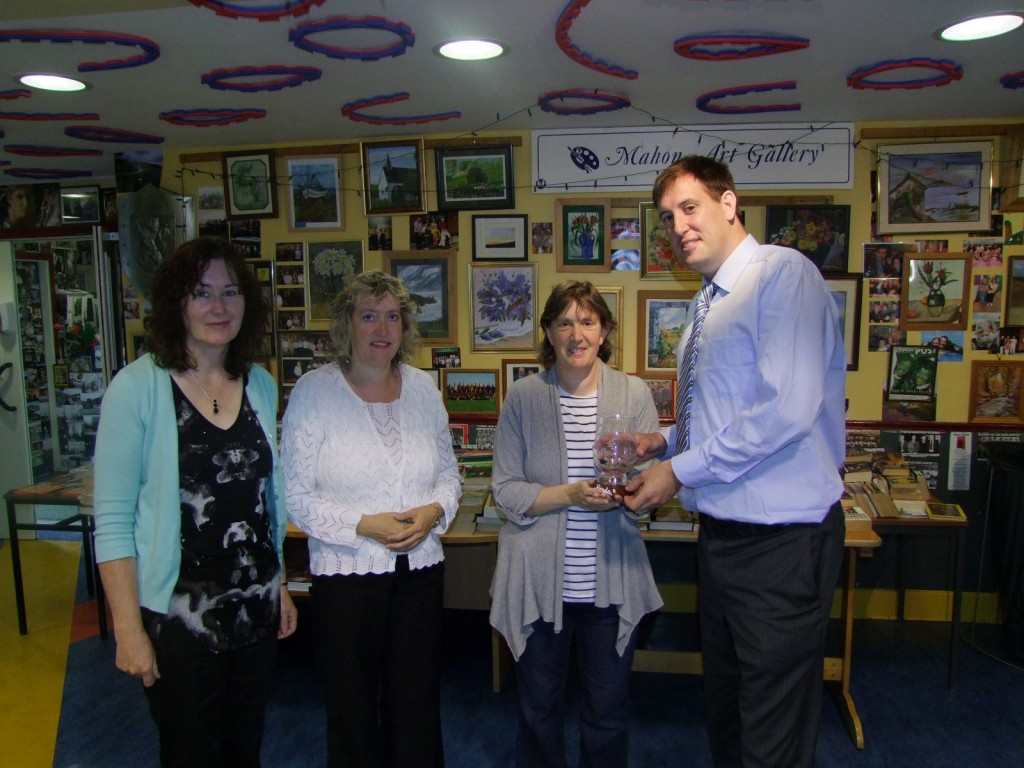
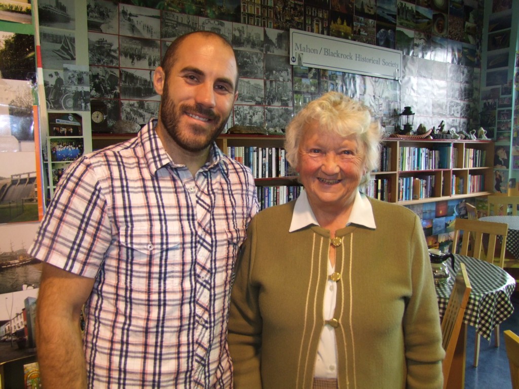
Rennes Damhsafest group, 22 July 2010

Rennes Damhsafest group, 22 July 2010

Rennes Damhsafest group, 22 July 2010

Rennes Damhsafest group, 22 July 2010

Rennes Damhsafest group, 22 July 2010

Rennes:


Rennes is the capital of the région of Brittany, in France, It has a long history due to its location at the confluence of two rivers.

Rennes within France


The Confluence:

The eastern Armorican people of Redones founded Condate— an ancient Celtic word meaning confluent— at the confluence of the Ille and Vilaine rivers and made it the capital of a territory that extended to the Bay of Mont Saint-Michel. The name of the city of Redon also reflects that of the Redones. Early in the 1st century BCE, they adopted the Greek and Roman practice of issuing coinage, adapting the widely-imitated gold staters of Philip II of Macedon,

They joined the Gaulish coalition against Rome in 57 BC, which was suppressed by Crassus.


In 58BC, Roman emissaries were held hostage by the Redones, which obliged Julius Caesar to intervene in Armorica and suppress the rebels, and the following year to cross the Channel to discourage further support of the Redones by the Britons. In 52 the Redones responded to the call of Vercingetorix to furnish a large contingent of warriors.


Roman Era:

In the Roman era, Condate became Condate Riedonum, capital of Civitas Riedonum. During the Roman era, the strategic position of the town contributed to its importance. In the year 275, the threat of barbarians led to the erection of a robust brick wall around Rennes. Rennes became known as the “red town”.


Starting in the fifth century, Bretons occupied the western part of the Armorican peninsula, which started to be called Little Britain, and then Brittany, while the Franks took the rest of Armorica. To contain the expansion and avoid Breton incursions, the Carolingians instituted a Breton march, composed of the counties of Rennes, Nantes, and Vannes. These marches were entirely absorbed by the Breton Kingdom in the ninth century, and Rennes became Breton in 851. Rennes would later become the capital of Ducal Brittany.


Part of France:

In 1491, the French army of Charles VIII, led by General Louis II de la Trémoille, unsuccessfully attacked Rennes. Brittany having already capitulated elsewhere, Rennes alone still resisted. The defenders of Rennes were determined to resist to the death, but the Duchess Anne of Brittany chose instead to negotiate. By her marriage to Charles VIII, she made Brittany a part of France.


City Expansion:

Fast forward in time – In 1857 the Rennes train station was built, which gradually led to the southward sprawl of the town.


 Rennes City Centre


During World War II Rennes suffered heavy damage from just three German airplanes which hit an ammunition train parked alongside French and English troop trains and near a refugee train on the yard: 1,000 died. The next day, 18 June 1940, German troops entered the city. Later, Rennes endured heavy bombings from the US and British Air Forces in March and May 1943, and again in June 1944, causing thousands of deaths. Patton’s army freed the capital of Brittany on August 4, as retreating German troops blew the bridges behind them, adding further damage. About 50,000 German prisoners were kept in four camps, in a city of only about 100,000 inhabitants at the time.


From 1954 onwards the city developed extensive building plans to accommodate upwards of 220,000 inhabitants, helping it become the third fastest-growing city in France, after Toulouse and Montpellier (1999 census).

Rennes from Google Earth

Kieran’s Our City, Our Town, 22 July 2010

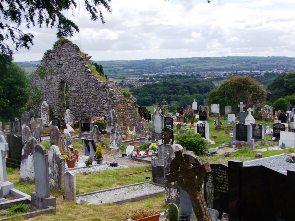
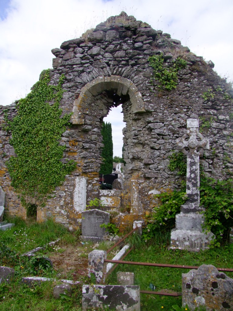
549a. Currykippane church ruin


Kieran’s Our City, Our Town Column, Cork Independent, 22 July 2010 

In the Footsteps of St. Finbarre (Part 221)

A Just Tribute

 In the Cork topographical notes of Colonel Thomas A. Lunham in the Journal of the Cork Historical and Archaeological Society for 1904, he states that Currykippane Parish consists of eight ploughands and was formerly the inheritance of Donogh, the Earl of Clancarty. It subsequently passed into the hands of the Hollow Sword Blade Company and then Currykippane East and West was purchased by William Dunscombe.


William Dunscombe was the great grandson of Edward Dunscombe who settled in Cork as an eminent merchant in 1596. He was from London and died in 1631. Edward’s son was Colonel Noblett Dunscombe whose son also called Noblett was born in 1628. Noblett was a merchant but also a city councillor and was Mayor of Cork in 1665. In 1686, the Corporation of Cork granted him the south east marsh or the Great Marsh (just east of the walled town of Cork). The North Strand was leased in 1686 for 399 years to Noblett at the rent of £2 10s. yearly. This location is where St. Mary’s Church, Pope’s Quay. A portion of the north east marsh was also granted to Noblett. He also invested in the north west marsh but surrendered it after the Siege of Cork in 1690. The Pike Family eventually developed the marsh here. (Henry Street area, Cork City)
 

After the Siege of Cork in 1690, the Great Marsh was surrendered by Noblett Dunscombe and a new grant was made in 1691, reserving a rent of £10 per annum. Dunscombe’s Marsh comprised that portion of the city now bounded as follows; Grand Parade on the west, Patrick’s Quay to the north, Parnell Place on the east South Mall on the south. Dying in 1695, his titles passed to his son William. William in 1699 built a stone bridge on the western end of the marsh to connect it to Tuckey’s Quay owned by the Tuckey family. He commenced leasing plots on the marsh in 1710 and in 1715 George’s Street was laid out (later re-named Oliver Plunkett Street).


As for Currykippane, the Dunscombes were still resident at Mount Desert a century and more later – The Post Chaise Companion or Traveller’s Directory through Ireland for 1804 records “One mile from Cork, on the R. is Glasheen, the seat of Mr Patten; and about a mile father to the R. is Mount desert, the seat of Mr Dunscombe”. Thom’s Irish Almanac and Official Directory for the Year 186’ shows “Nicholas Dunscombe of Mount Desert” as a Deputy Lieutenant and Magistrate. “Landowners of County Cork 1876” shows Nicholas Dunscombe owning 1,126 acres at Mount Desert.


The notes of Richard Caulfield were also highlighted in the 1904 journal. He notes that one of the oldest gravestones at Currykippane is to the memory of Ellen Callaghan who departed this life in 1753. Some of the tombstones to the Callaghans do not have the prefix “0”. Richard Caulfield highlights that there is one in the south west quarter which has a history whose details were related to him many years ago by an aged gentleman, to whom the occupant of the grave was known.


The inscription is as follows “I.H.S. to the memory of Edward O’Callaghan, late Lieut. Of the Royal Navy, who departed this life March 1st, 1808, aged 34 years. As a just tribute of her affection, an attached friend has placed this stone over his remains.” Lieutenant O’Callaghan received his education at St. Peter’s School, Cork. A Miss Parks, a lady known for her generosity and charity in forwarding the interests of the school visited the school daily. She became interested in the O’Callaghan family and witnessed that Edward’s mother was poor. As soon as young Edward O’Callaghan received his education, his friend and patroness, got him a job at sea.


Edward was introduced to a London firm and sailed from Cork to take up his new post. From London he set sail for the East Indies, and nothing was heard of him for nearly two years. At last Miss Parks received a communication from his employers, speaking of Edward in the highest terms, accompanied with a considerable sum of money for his mother’s support. The Captain of the ship in which Edward sailed was so impressed with integrity of character that he recommended him to the commander of one of the naval ships then going on foreign service. The next account of him was that he was engaged in The Battle of Trafalgar (October 1805). The sea battle was fought between the British Royal Navy and the combined fleets of the French Navy and Spanish Navy.


In 1807, Lieutenant O’Callaghan was forced to return to Cork after contracting a fatal disease. On his death bed he handed over his hat, sword and medal to his old patroness as remembrances of his undying gratitude. The emblems of his rank and rank were borne on his coffin to Currykippane churchyard. Six trees were also planted surrounding the grave as a “just tribute” by an old school friend to mark his friend’s grave. Today the trees are long gone. The headstone may survive but I was unable to read many of the older headstones at Currykippane.


To be continued…


Captions:


549a. Currykippane church ruin (pictures: Kieran McCarthy)


549b. View looking west along the Lee from Currykippane, Carrigrohane Castle can be seen in the centre.


549b. View looking west along the Lee from Currykippane

Damhsafest

Damhsafest is the only International Folk Dance Festival in the Cork Region, in fact it is the only one of its kind in the 32 counties of Ireland. Since its inception in 1995, our festival has hosted close to 30 international folk dance groups. Over these years performances were held in Cork City, as well as towns, both large and small, across the county. Our visitors went home with great memories of Cork and Ireland, and expressed an interest in being invited back again. We are looking forward to having 4 international groups accompanied by local groups participating in the Damhsafest 2010 programme.

http://www.damhsafest.ie/about/

Damhsafest launch, 20 July 2010

Kieran’s Our City, Our Town, 15 July 2010

548a. Ruins of Currykippane Church

 Kieran’s Our City, Our Town, Cork Independent, 15 July 2010

In the Footsteps of St. Finbarre (Part 220)

Fragments of Antiquity


On a beautiful view-point on the northern side of the River Lee Valley, near Cork and overlooking the approach of the River Lee to the Lee Fields, stands the jagged ruin of Currykippane (also spelt Curraghkippane), which gives name to its surrounding burial ground. Writers differ as to the origin of the placename. Many explain it as Coradh-Ceapchain, Currykippane or ‘Homestead of the Little Clearance’. In the distant past, a dense wood crowned the hillside, on which a clearance for a church or dwelling would be necessary. Other accounts attribute ‘Cora’ to the weir or ford which for­merly crossed the river at the foot of the hill, and served as an approach to the ‘ceapchain ‘ or ”little clearance”. In fact, it is told that at the nearby Clogheen Calvary site during Ireland’s penal days the priest waited in secret to meet funerals on their way to Currykippane.  The funeral cortege stopped and the priest recited prayers for the dead.


Of the church described “Corkapan” in 1291 A.D. little is known. Obviously, it was founded at a much earlier period, and belongs to the group of smaller pre-reformation churches and associated internments. Currykippane ap­pears to have been restricted to families and their descendants long resident in the neighbourhood. The building appears to have needed repairs in the 1600s and reputed to be abandoned by 1693, but in 1860 only the eastern gable, some fragments of the south wall, and part of the west gable remained. The form of the perpendicular window in the chancel, as well as the stone credence in a niche in the eastern wall and a piscina in the south wall, highlight the date of the church.


Today the fragmentary remains of the rectangular church exist. Only fragments of the north and south walls survive. The west wall is now featureless and ivy-clad. The eastern wall stands tall with a narrow central window ope. The interior of the church is now crowded with burials, some recent. The earliest noted inscribed headstones in Currykippane date to 1794. 


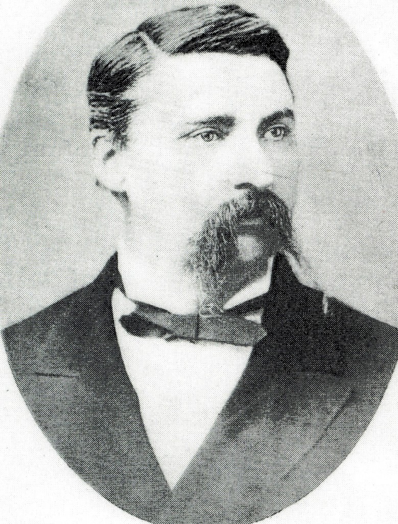
Apart from its antiquarian interest, Currykippane is revered by Corkmen as the resting place of, Jerome J. Collins, a distinguished scientist and journalist. Cork historian Ronnie Herlihy and a descendant of Jerome’s Amy Johnson have highlighted much of Jerome’s work. Jerome was born at Cork in 1841. His father, Mark Collins, was a merchant and manufacturer in the city, and a member of the Town Council for twenty-two years. At the age of sixteen young Collins became a pupil of Sir John Benson, then City and Harbour Engineer. Jerome Collins by his ability, soon became assistant en­gineer, and had charge of important works in the river and harbour, notably, the erection of North Gate Bridge. On emigrating to America he engaged in several important municipal works, and be­came Street Commissioner of Hudson City in 1869.


The, possibilities of a general weather service had a fascination for him, and. owing to his articles on the subject he became attached to the editorial staff of the New York Herald. His idea being to make collected information of practical use, and after careful experi­ments extending over an entire year, he began in sending the famous storm predic­tions for the “Herald” to Europe. Not­withstanding, the criticism of the English Press, he persevered and perfected the organization of a weather bureau. In 1878, Jerome Collins attended the Meteorological Congress in Paris, where he received high honours and contributed two papers on the rationale of storm warnings. 


When Cordon Dennett organized an expedition to the North Pole, Jerome Collins became attached to the exploring party as scientist and correspondent. The Jeannnette, a steamer acquired from the British Government, left San Francisco on the 9th July 1879. In June I851, the “Jeannette” was abandoned in the icepack in northern latitudes. Two boats, however, were sound, and served in exploring for land and food. During a storm one boat with its crew became se­parated and both were lost. Collins, with the captain and others, secured a lauding in a desolate region, where they endured great privation. A small party went in search of food, and failed to return. Meantime, while waiting an opportunity for further expedition, the party became exhausted, and died of starvation. Commander De Long was the last to sur­vive. His diary entry dated the 30th October 1881, states that Collins was dying by his side.


His last communication, dated 27 August 1879, from Behring’s Strait closed worryingly:

“All before us now is uncertainty, be­cause, our movements will be governed by Circumstances over which we have-no con­trol. We are amply supplied with fur clothing and   provisions…we can go forth, trusting in God’s protection and our good fortune. —Farewell!”   


Three of the party, who lost their way from camp while endeavouring to secure food, reached Siberia, where a mes­sage was sent to the United States Government. A search party was immediately dispatched from New York to join them, and after a long and hazardous search the bodies were recovered.  On the 8th March 1884, the remains of Jerome J. Collins landed at Queenstown for burial in Currykippane graveyard. The funeral procession, which passed, through the streets of Cork during terrible weather was long remembered for its impressive display of public honour.


To be continued…


Captions:


548a. Ruins of Currykippane Church (picture: Kieran McCarthy)


548b. Jerome Collins (picture: Cork City Library)


548b. Portrait of Jerome Collins

Kieran’s Motions and Question, Cork City Council Meeting, 12 July 2010

Kieran’s Motions and Question, Cork City Council Meeting, 12 July 2010


Motions:

That plug sockets be provided for researchers with laptops in the local studies section of Cork City Library (Cllr K McCarthy).

That the City Council upgrade the podium stand and purchase a roaming mike in the Concert Hall for ceremonies (Cllr K McCarthy)


Question to City Manager:

To ask the City Manager about the City Council’s response to the increasing on-street practices of open-air drinking. In particular, George’s Quay, Fr. Mathew Quay and within the small park at the eastern end of the South Mall, adjacent Parnell Bridge have regular open air drinking (Cllr K McCarthy)

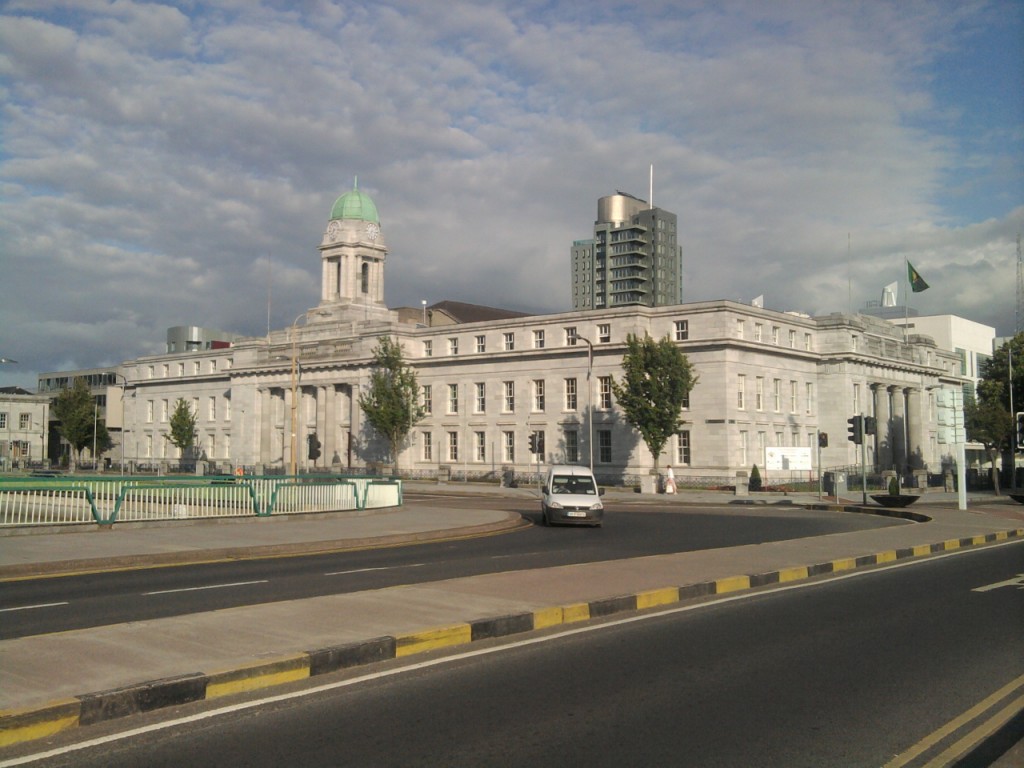
Cork City Hall


Kieran’s Comments, Re: Quarterly Economic Report, Cork City Council Meeting, 12 July 2010

Kieran’s Comments, Re: Quarterly Economic Report, Cork City Council Meeting, 12 July 2010

The recent economic report makes for interesting and sad reading – 46,000 people unemployed in our region, a large vacancy within our business units in the city centre. We can blame a large number of factors but ultimately the City Council needs a stronger policy of bringing more people and trade into the city centre. Walking around town, it’s disheartening to see shops offering 70% off.  One would worry about their tight profit margins, the effect of rates and service charges. Many city businesses are probably far from green shoots. I would argue that jobs right across the city are on the line on a weekly basis – that is a reality. We are I feel dealing with a climate of risk of further closure.

We got to get people spending in the local economy. We need to send a message to Cork people – that’s the only way Cork will grow is that it has to grow within itself. We need to build initiatives. As they say in the consumer world, if we don’t take care of the customer, someone else will.

Spike Island Handover

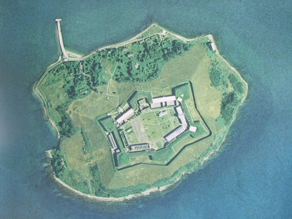
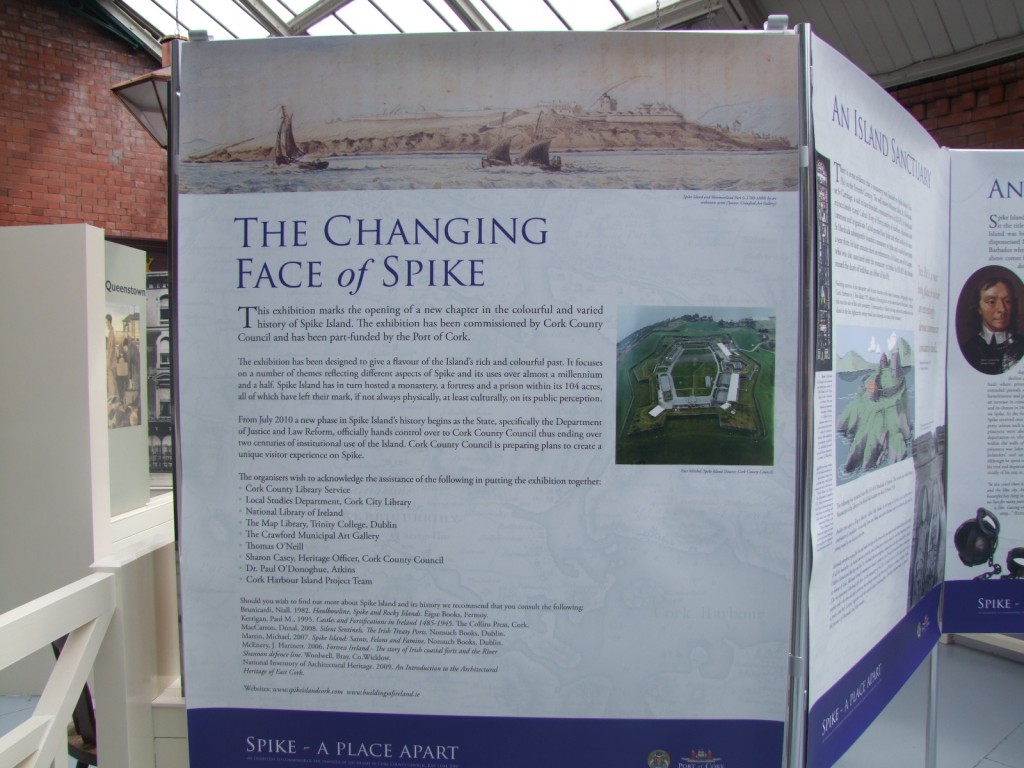
                Today, Spike Island was handed over to Cork County Council for development as a heritage resource.

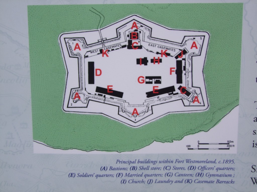
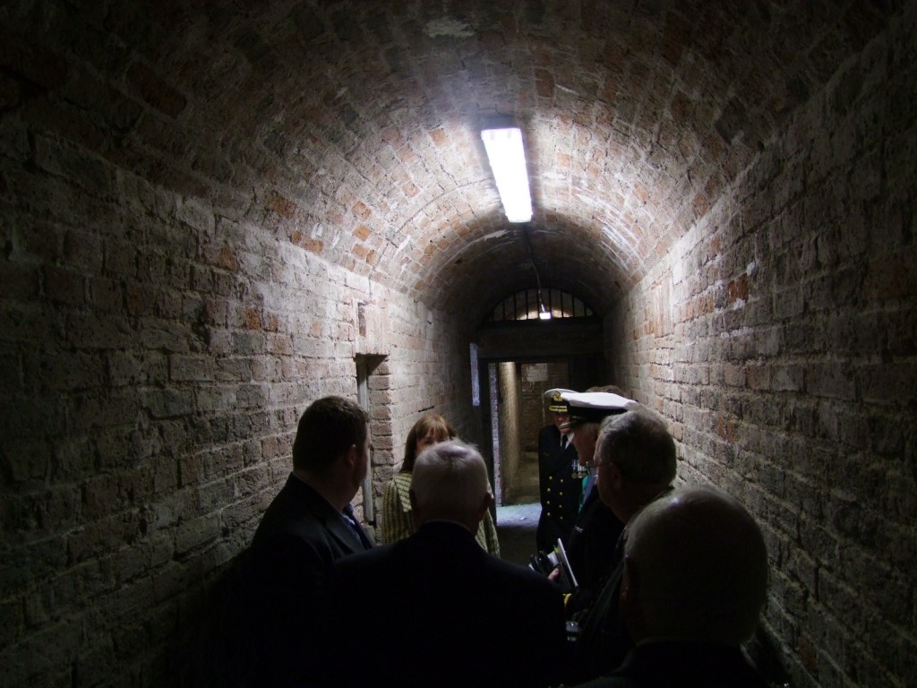
Spike Island (Irish: Inis Píc) is an island of 42 hectare in Cork Harbour. It was significant in the French intervention following the French Revolution, and was later purchased by the British government in 1779 – becoming the site of Fort Westmoreland. Later a prison and convict depot, it was used to house “convicts” prior to penal transportation. It gained a reputation as “Ireland’s Alcatraz. It remained in use as a garrison and prison through the Irish War of Independence, when IRA prisoners were held there. Richard Barrett was among those detained there, but escaped during the truce of 1921.

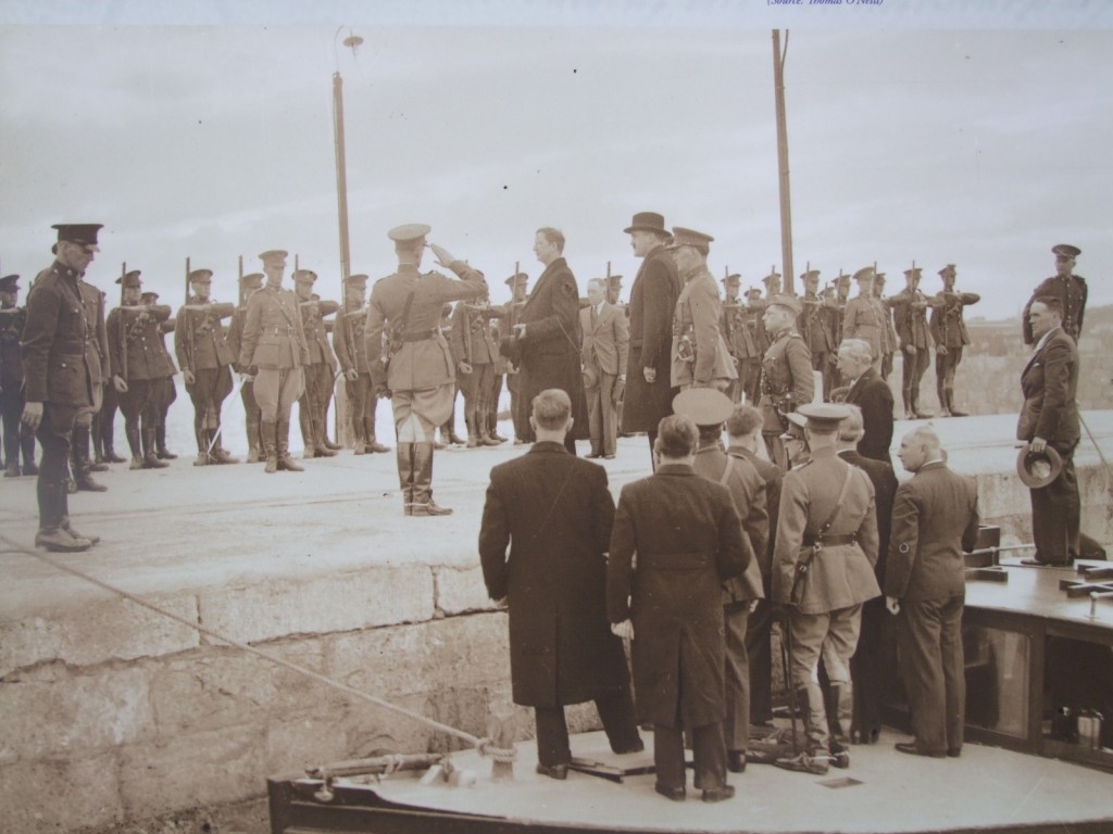
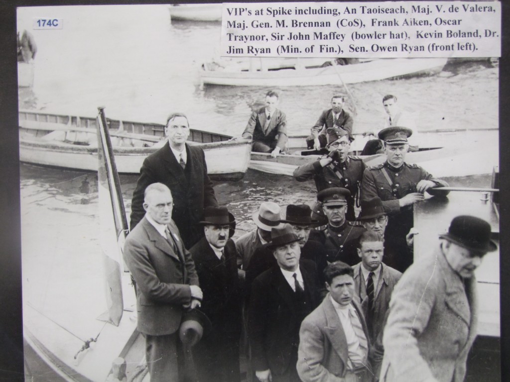
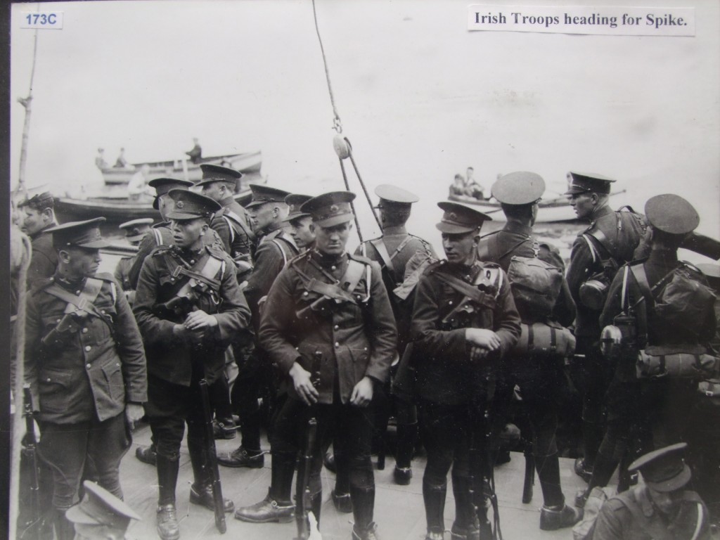
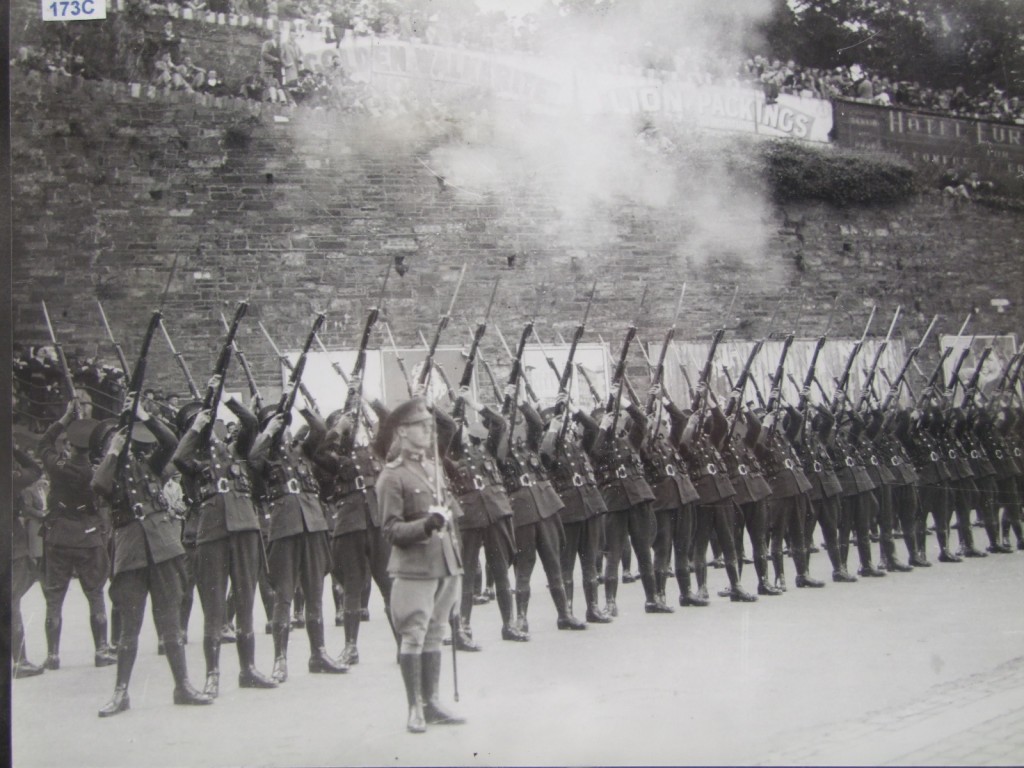
Following the Anglo-Irish Treaty, the island remained as one of the Treaty Ports, and was only handed back to the Free State in 1938. Upon its handover to the Irish state, the island’s installations were renamed Fort Mitchel (after John Mitchel, nationalist activist and political journalist).[2]

The island remained the site of a prison and military base (for both the regular Irish Army and the FCÁ) for some time. Most recently it was used as a correctional facility for youth, when in 1985 it became mildly notorious when the inmates mutinied and briefly controlled the area; one of the accommodation blocks caught on fire and is known as the Burnt Block. This facility closed in 2004.

The island also had a small civilian population, which was serviced by a small school, church and ferry (launch) service to Cobh. The civilian population has since left the island however, and the island is now vacant, with many previous residents moving to nearby Cobh. In May 2006 Minister for Justice Michael McDowell announced plans to build a new prison on the island; however on 25 January 2007, it was decided to explore an alternative site. In 2007 a local task group was set up to re-open Spike as a historical tourist site, and in 2009 it was announced that ownership the island would be transferred (free of charge) to Cork County Council to enable its development as a tourist attraction. The Council subsequently formed a steering group to explore how Spike Island might be developed as a tourist site.

Spike Island, aerial view

Changing Face, Spike Island

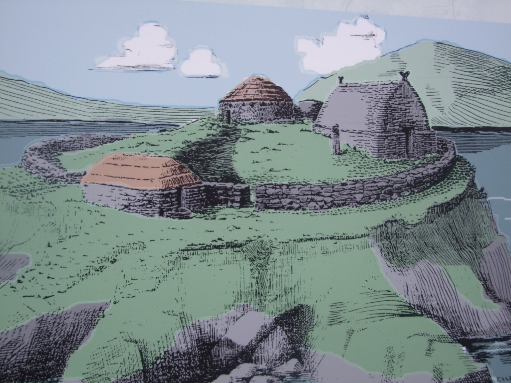
Interpretative image of Spike Island during monastic times

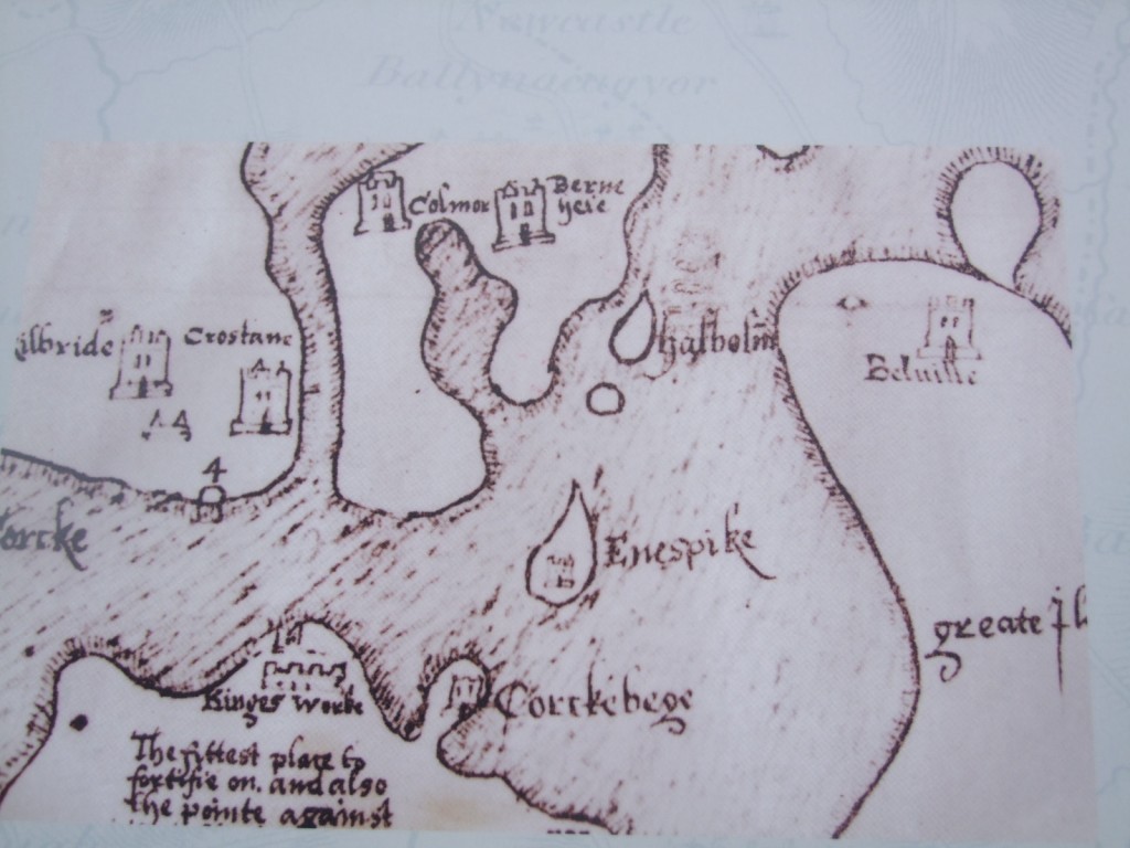
Post Medieval Spike Island and Cork Harbour

Westmoreland Fort, Spike Island

1938 handing over by British troops to Eamonn DeValera

Irish delegation 1938 at handing over by British government to Irish government of Spike Island

Irish Troops at the 1938 handover from the British government to the Irish government

Irish Troops at the 1938 handover of Spike Island from the British government to the Irish government

Navy, Spike Island handover, Irish government to Cork County Council, 11 July 2010

Navy, Spike Island handover, Irish government to Cork County Council, 11 July 2010

Navy, Spike Island handover, Irish government to Cork County Council, 11 July 2010

Cobh Heritage Centre and Spike Island photographs

Minister Eamonn O'Cuiv, grandson of Eamonn DeValera, Spike Island handover, Irish government to Cork County Council, 11 July 2010

Crowd at Cobh Heritage Centre, Navy, Spike Island handover, Irish government to Cork County Council, 11 July 2010

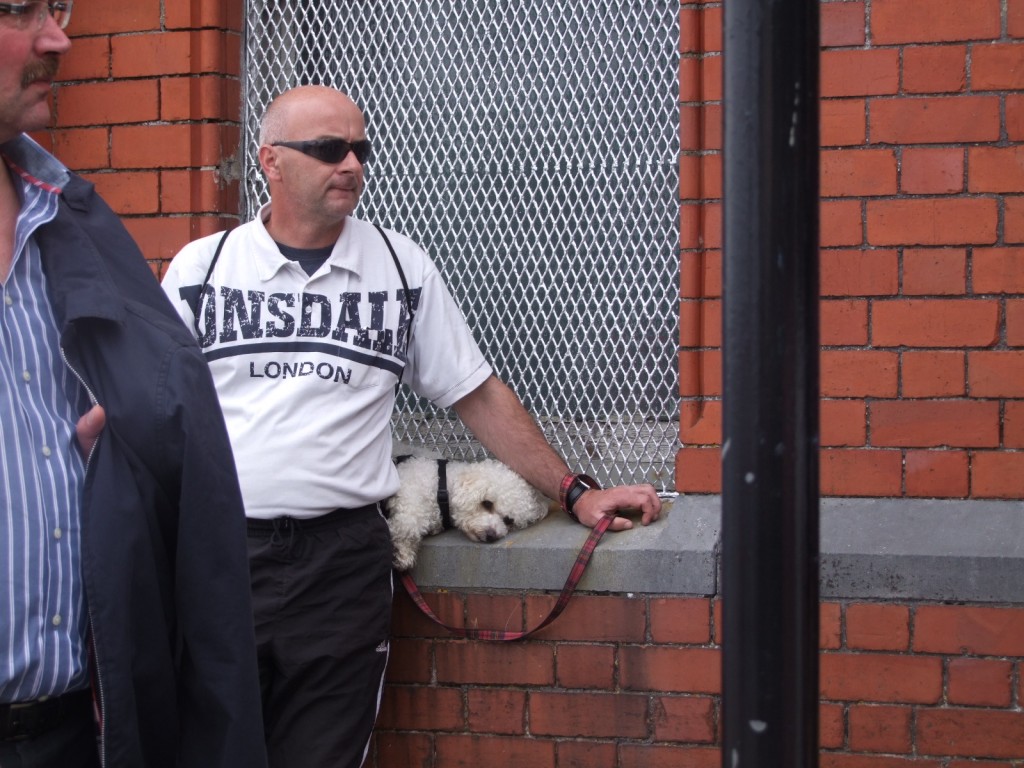
Sleepy Dog, Spike Island handover, Irish government to Cork County Council, 11 July 2010

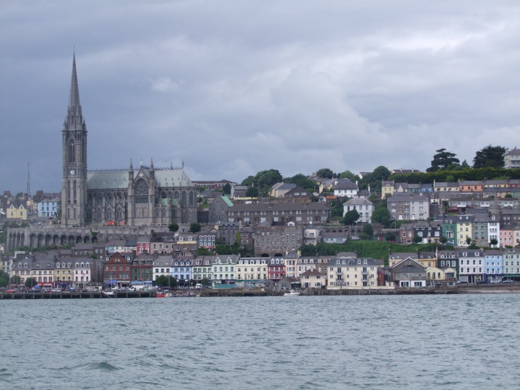
View of Cobh docks area, Spike Island handover, Irish government to Cork County Council, 11 July 2010

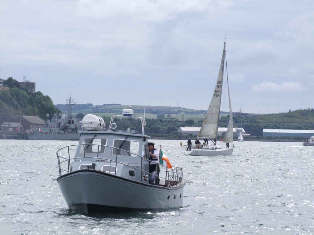
Cobh, boat going out to Spike Island, Spike Island handover, Irish government to Cork County Council, 11 July 2010

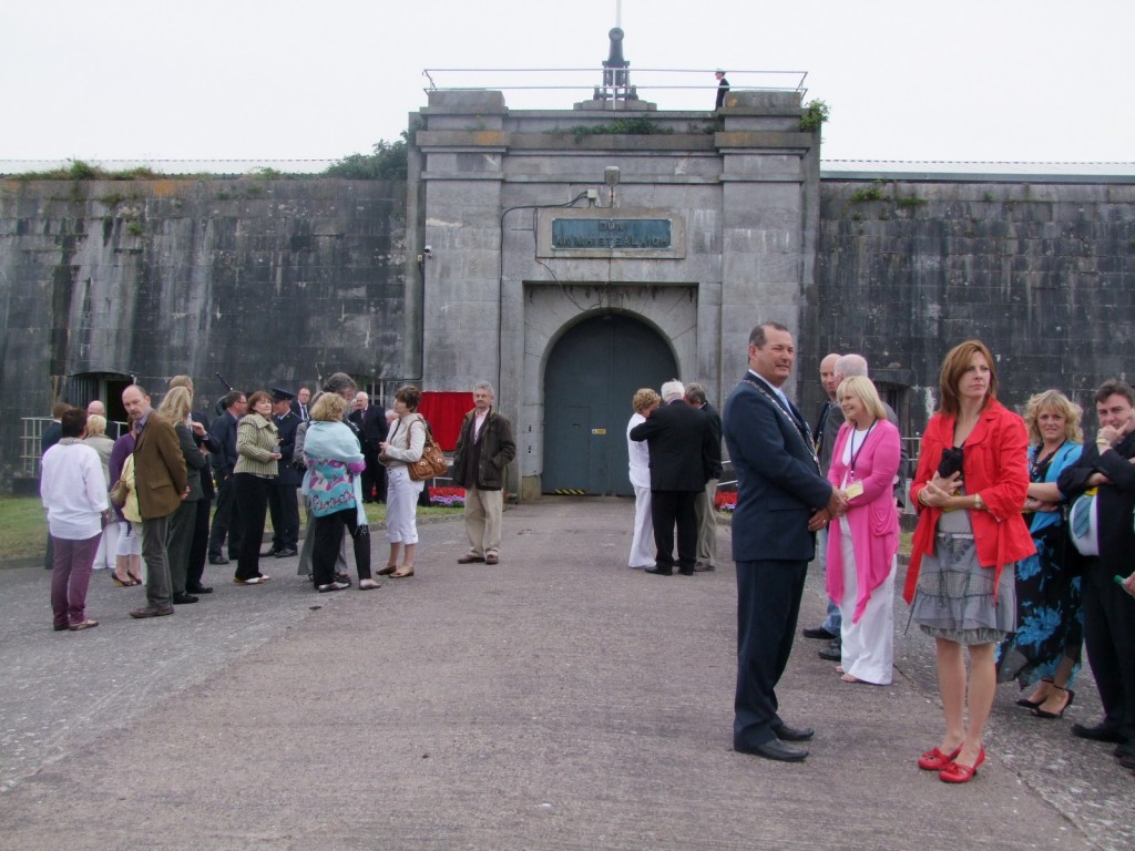
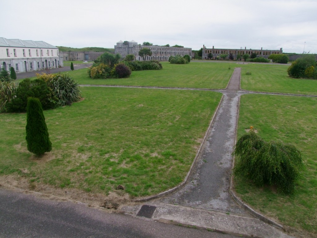
Entrance to Fort Mitchel, Spike Island handover, Irish government to Cork County Council, 11 July 2010

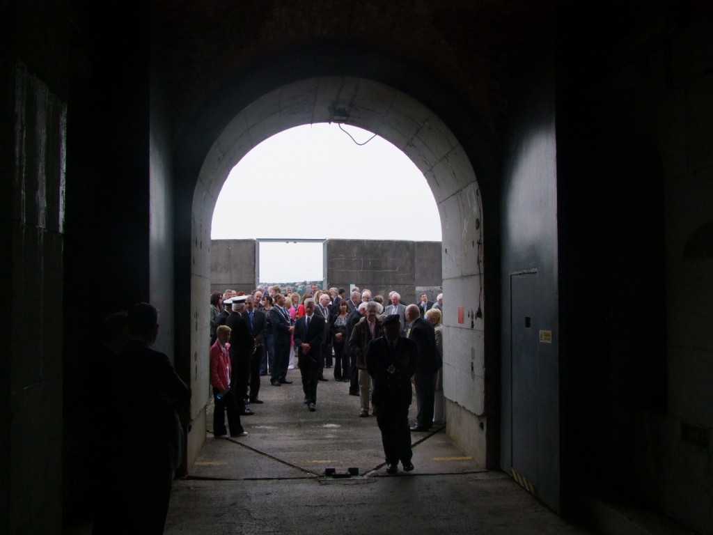
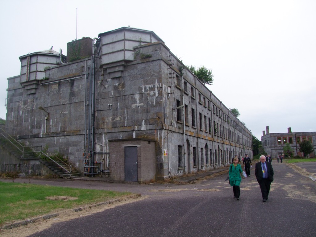
Fort Mitchel, Spike Island handover, Irish government to Cork County Council, 11 July 2010

Fort Mitchel, Spike Island handover, Irish government to Cork County Council, 11 July 2010

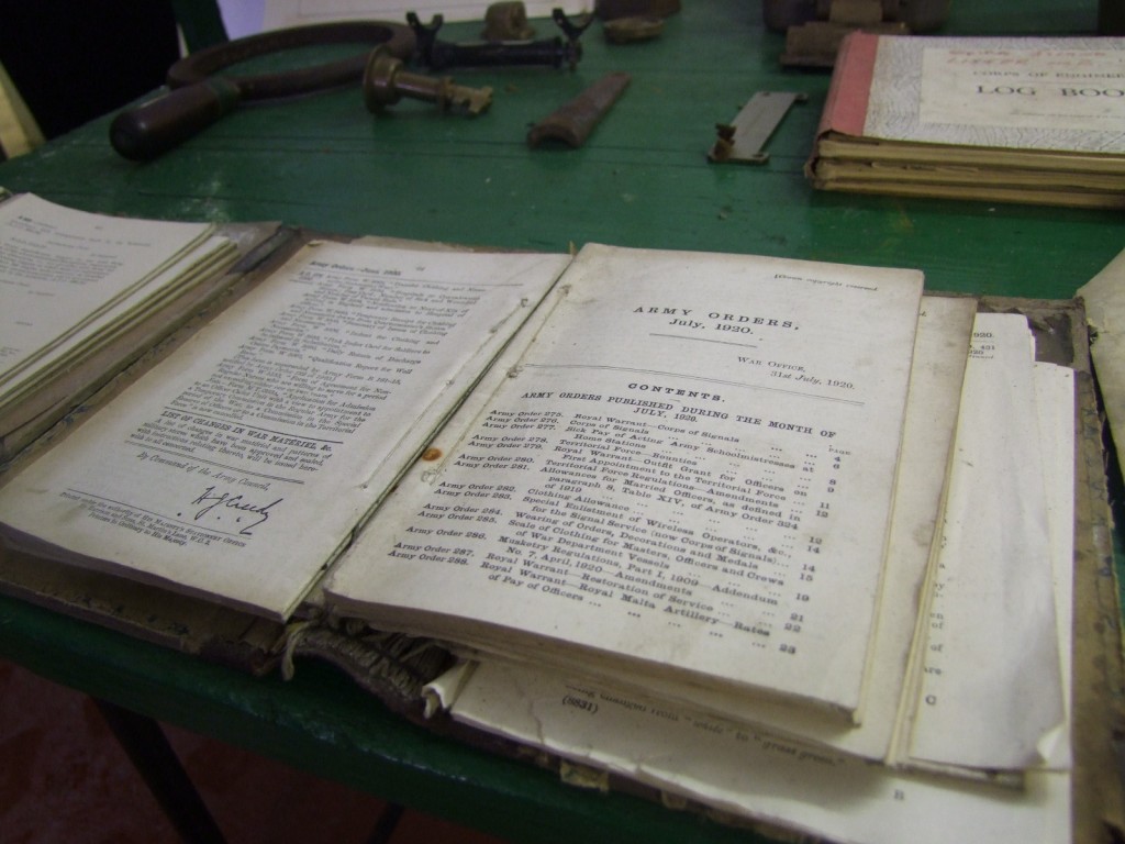
Historical records, Fort Mitchel, Spike Island handover, Irish government to Cork County Council, 11 July 2010

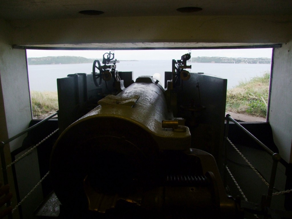
Battery, Fort Mitchel, Spike Island handover, Irish government to Cork County Council, 11 July 2010

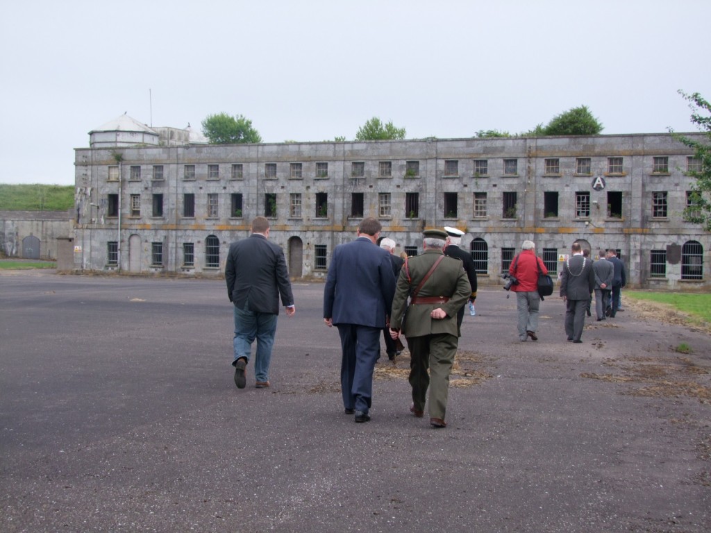
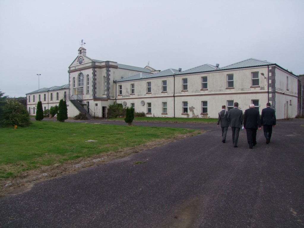
Fort Mitchel, Spike Island handover, Irish government to Cork County Council, 11 July 2010

Fort Mitchel, Spike Island handover, Irish government to Cork County Council, 11 July 2010

Fort Mitchel, Spike Island handover, Irish government to Cork County Council, 11 July 2010

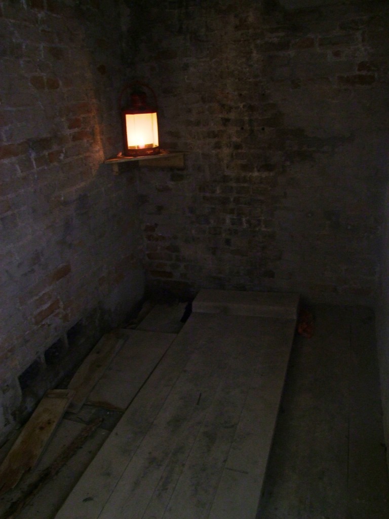
Outside John Mitchel's cell, Fort Mitchel, Spike Island handover, Irish government to Cork County Council, 11 July 2010

John Mitchel's cell, Fort Mitchel, Spike Island handover, Irish government to Cork County Council, 11 July 2010

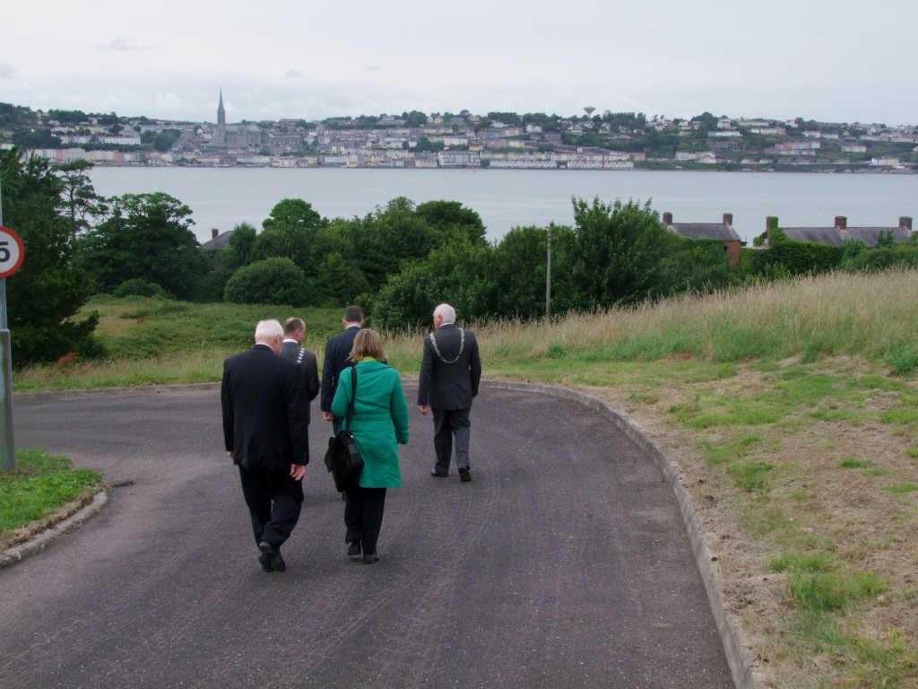
Overlooking Cobh from Fort Mitchel, Spike Island handover, Irish government to Cork County Council, 11 July 2010

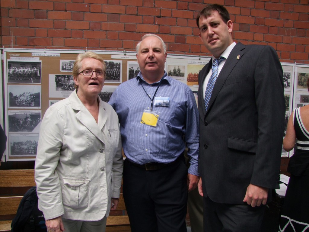
Kieran, Denis Coffey & former resident of Spike Island at Spike Island handover, Irish government to Cork County Council, 11 July 2010

Kieran’s Our City, Our Town, 8 July 2010

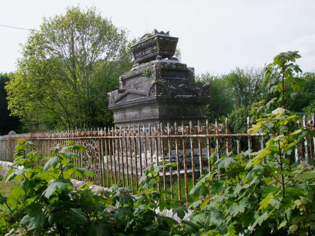
547a. Murphy family plot, St. Peter's Church


Kieran’s Our City, Our Town, Cork Independent, 8 July 2010

In the Footsteps of St. Finbarre (Part 219)

Memories and Hidden Corners

 “I am influenced by the existence of an invisible world within nature where there are elusive processes, transformations and interactions of phenomenae. Inspiration is drawn from often overlooked, everyday environments, shadows, atmospheres, trails and hidden corners” (Lucey Dawe Lane, Fractals Exhibition, June 2010, Crawford College Art and Design)

A journey to the annual Crawford College of Art’s graduate exhibition offers the viewer new ways of not only seeing art but ways of seeing everyday and ordinary views one takes for granted. I feel that Lucey’s quote above sums up some of my own key feelings on St. Peter’s Church. There are many treasures to reflect on here, which the column has been investigating in the last number of weeks. However, I am also taken by the idea that the exploration of the hidden corners of heritage are as important as mainstream histories.

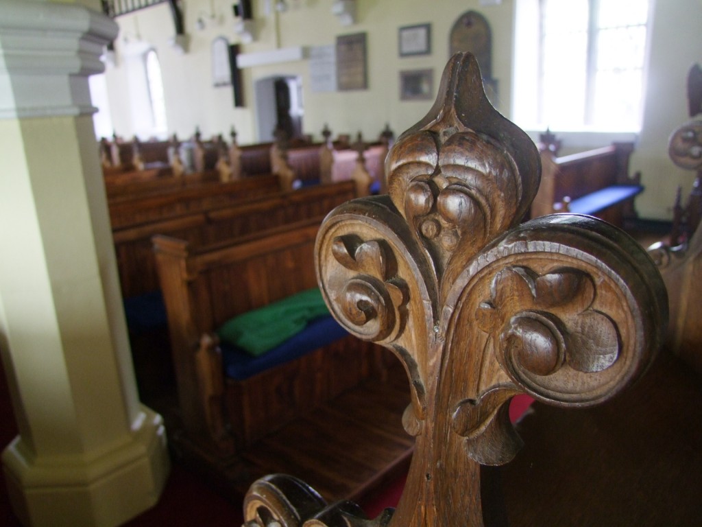
St. Peter’s Church is alive with images and Christian symbolism that informs my own experience of the space, how I photograph it, walk around it slowly and how even how I sit in the beautifully carved pews. Indeed, over the altar arch, the inscription invites one to “worship the Lord in the beauty of holiness”. There is an enormous thread of beauty and nostalgia running through the building. The church is a place which grabs you, draws one in – it connects one to an ideology.

Light hitting the small brass plaques on the pews flicker names of people who sat there and tell of a past social order in operation within the pews – it reflects on a different age where the pews were a type of private property, for the exclusive use of specific individuals or families, or linked to particular properties. In a paper by Spencer Thomas in the Journal The Local Historian, published by the British Association for Local History in 2009, he notes that churches were not commonly furnished with permanent pews before the coming of the Protestant Reformation. The rise of the sermon as a central act of Christian worship, especially in Protestantism, made the pew an indispensable item of church furniture. Gradually the pews came into existence and in the period between 1600 and 1800, when everything was about social stature, pews were also used to distinguish between the various social classes. Classes of higher strata only had the opportunity to sit in the pews closest to the pulpit.

In St. Peter’s the brass plaques list the following: police, clergymen, officers of Ballincollig Gunpowder Mills and families such as the Pratts of Gawsworth, Pratts of Beechmount, Austins, Coopers, Chadwicks, and family members of Carrigrohane Lodge, Kitsboro, Rock Lodge, Rockrohan, Mount Desert, Roseanna, Carrigrohane Castle, Leemount and Parknamore.

A collection of plaques on the walls of the central part of the church illuminate other key names associated with the church and highlight the human memory within the building. One plaque remembers Robert Pratt, J.P. of Gawsworth, Carrigrohane (1835-1910). He was son of Major Henry Pratt, 58th Regiment. The plaque was erected by his widow Anna Maria, daughter of Austin Cooper Chadwick of Damerville, Co. Tipperary. Another plaque recalls Richard Henderson Fetherstonhaugh, second son of Theobald Fetherstonhaugh of Newtown, Moate, Co.Westmeath, who died in 1902. Margaret was the wife of Captain William Harris who died in 1847, aged 51. The plaque was erected by her son John Harris.

Another inscription on a plaque highlights Lieutenant General Vere Hunt Bowles, Colonel of the Manchester Regiment who died at Patti in 1904. The plaque also highlights his wife Ellen Anne who died in 1911. It was put up to commemorate the twenty years the couple worshipped in the church under the ministry of Chancellor Dobbin.

Mary Hennessy of Millhouse Carrigrohane died in 1936. The plaque was erected by her son Sir Patrick Hennessey. Helena was the wife of Patrick Persse Fitzpatrick from Shrubs Co. Dublin. She died in 1821, aged 31. John Colthurst of Carrigrohane is also remembered. He is recorded as Lieutenant Colonel of the City of Cork Militia who died in 1839 aged 74 years.

On the baptismal font in the centre of the church, a brass plaque remembers Mary A. McGovern who died in 1937, aged 92 years. At the back of the church, a plaque on the wall immortalises Major John Doyle of the 72nd Highlanders, who died in Ballincollig in 1853, aged 68. On the right hand side wall (facing the altar), Ebenezer Pike of Hertfordshire, formerly of Kilcrenagh, Carrigrohane, who died in 1931 is remembered. Perhaps, the most sentimental of plaques was erected by G. Dolmage, a surgeon of the 8th K.R.I. Hussars in memory of his wife Julia, who died in Ballincollig in 1847, aged 29 years. He speaks through the plaque of his young wife being taken early from him, leaving children and leaving him an “afflicted husband”. However, this a hidden corner of St. Peter’s where this sad marker seems to highlight that even in the past, humanity was also important. This plaque for me is also powerful in animating, colouring and breathing further life into the physical human fabric and historical text of St. Peter’s sites as a site of memory within the Lee valley.

To be continued…

Captions:

547a. Murphy family plot in graveyard of St Peter’s Church, Carrigrohane (pictures: Kieran McCarthy)

547b. Detail of pew head, interior of St. Peter’s Church

547b. Detail of pew head, interior of St. Peter's Church