Eighteenth century Cork has left many legacies in the built heritage of the city – from streetscapes, to building stock, and to sites such as The Marina.
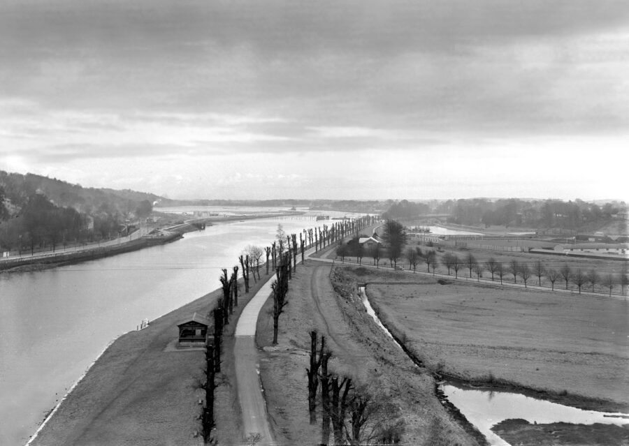
Cork’s Marina was originally called the Navigation Wall or in essence it was a tracking wall – a quasi-lengthy stone block quayside – for ships in the late eighteenth century to guide them into Cork City’s south docks area. The wall was to keep ships out from being grounded on unreclaimed swampland and to keep them to a dredged central river channel.
Prior to the Wall’s construction, such was the problem of the river silting up just east of the city that only small sailing vessels of 12 feet draught could get to Cork at high water, and when they got there they had to lie aground on a gravel bottom when the tide went out. Larger vessels had to anchor for Cork at a heavy expense.
Two thousand metres of the Navigation Wall was completed in 1761 through a significant grant of £4,000 from the Westminster government.
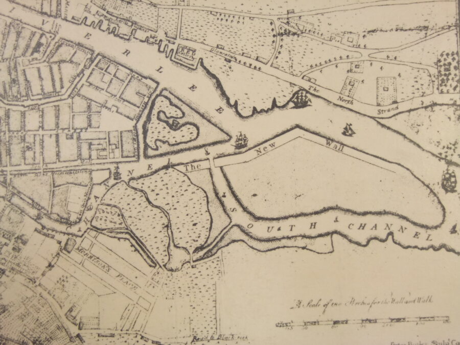
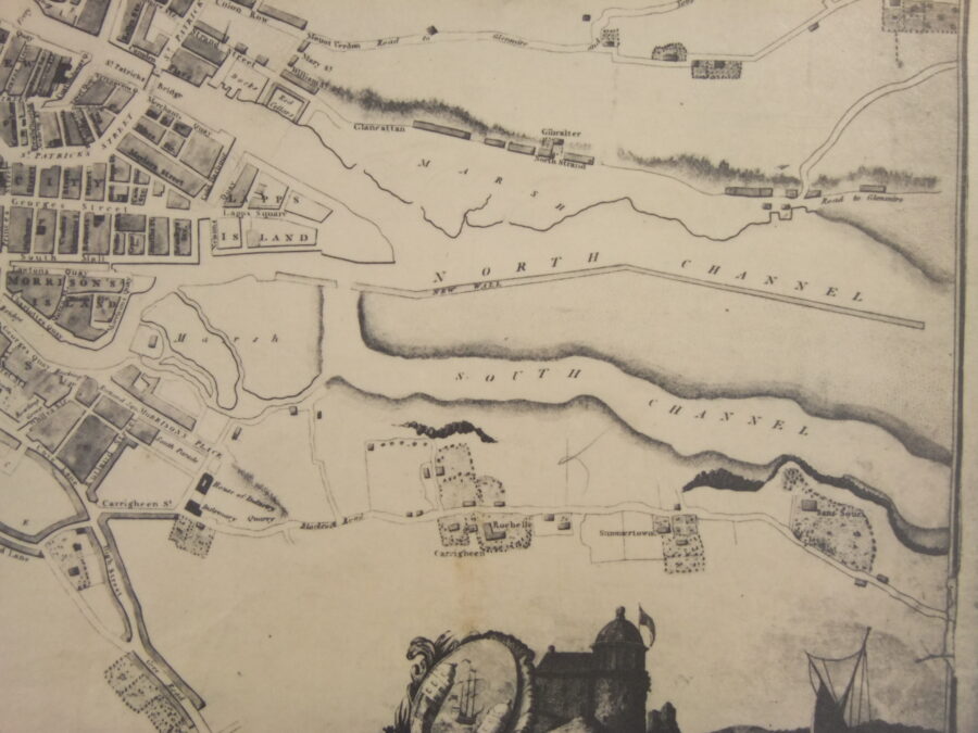
Copies of late eighteenth maps surviving in Cork City Library show the Navigation’s Wall’s delineation and prominence. Where no historical records have been unearthed yet to describe its construction, it would have required a vast amount of engineering expertise complete with many labourers and access to a large quarry of limestone. It was not a straight forward project of laying blocks, it required a careful negotiation of the river, tide and swampland to be precise enough in its careful construction.
In addition, the Navigation Wall was not a small project in one spot. Phase one of its construction comprised 2,000 metres by possibly over 6-7 metres in height bound into foundations that could hold it. In its day, the wall would have been an impressive structure.
Following its construction, the important work of systematic dredging mud and gravel began. The dumping of such material was behind the Navigation Wall in an effort to consolidate the silt and marshland. Fifty years later, such dredging became more formalised again as the Cork Harbour Commissioners were constituted in 1814.
The Commissioners soon introduced steam dredging, a vigorous programme of river and berth deepening, quay and wharf building commenced. The dredger of the Cork Harbour Commissioners deposited the silt from the river into wooden barges, which were then towed ashore. They continued to re-deposit silt was behind the Navigation Wall.
In 1836, the Navigation Wall was further extended eastwards by just over 1,000 metres – a project, which was linked to plans for the Cork Blackrock and Passage Railway. As the nineteenth century progressed, more and more of the wall was extended to eventually connect to evolving developments at the Blackrock pier area.
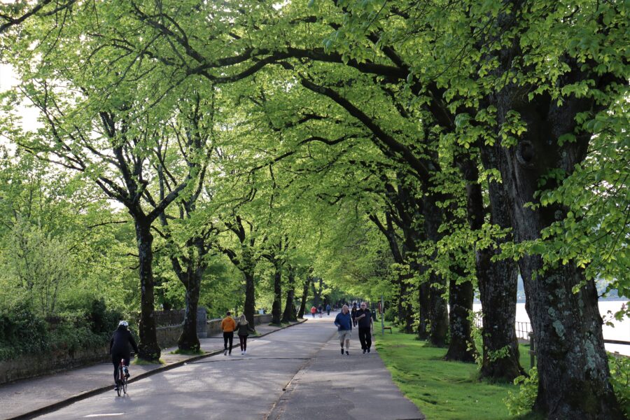
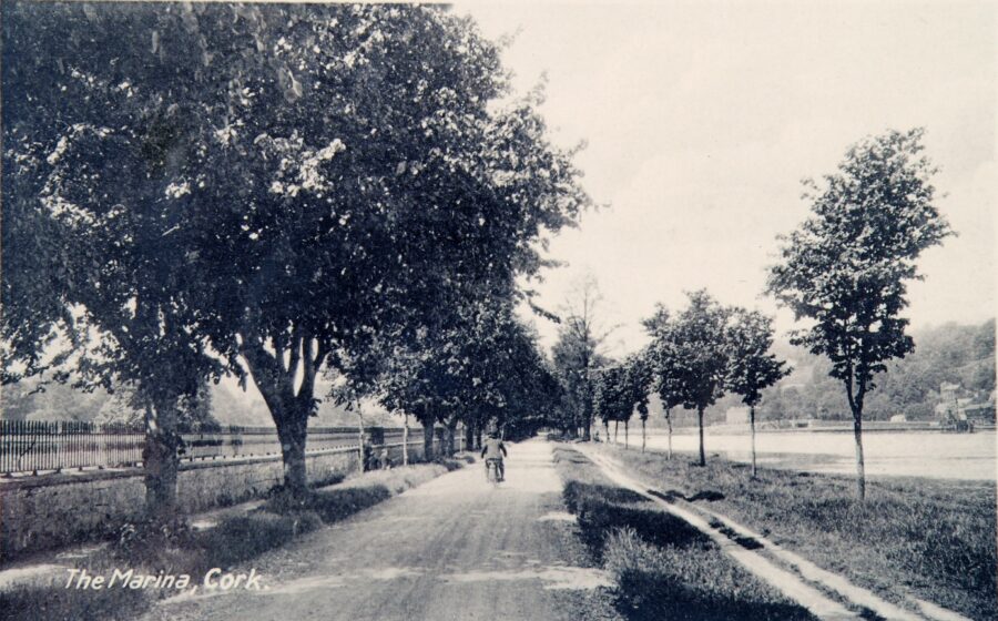
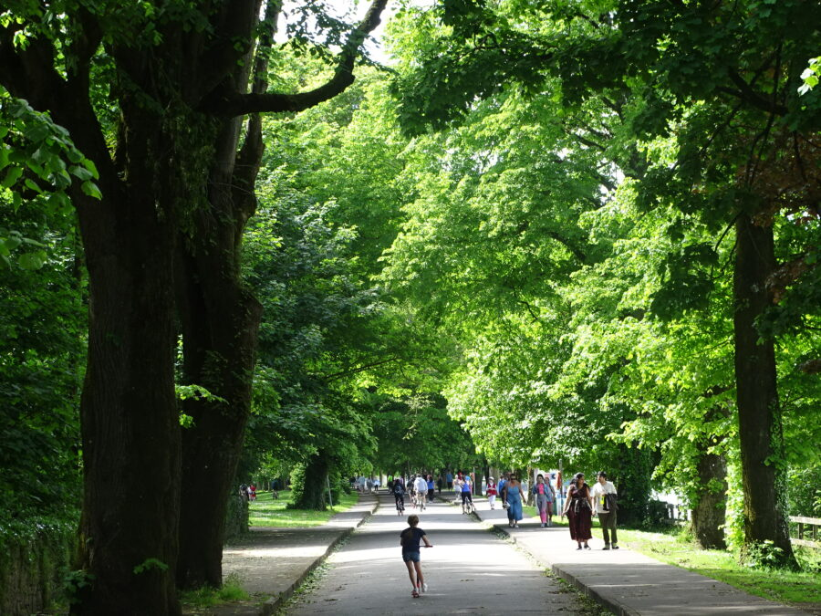
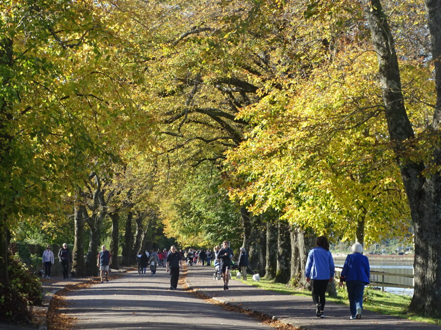
During the Great Famine as a relief project, the deepening of the river created jobs for 1,000 men who worked on widening the physical space of the Navigation Wall. In essence a fine road was constructed, which linked into Cork’s South Docks. To give an aesthetic to the new road, a fine row of elm trees was planted c.1856 by Professor Edmund Murphy of Queen’s College Cork (now UCC). The elm trees were part of a crop and tree growing experiment.
In 1870, the Gaelic poet and scholar Donncha Ó Floinn put forward to the Improvements Committee of Cork Corporation that the new road of the Navigation wall be named Slí na hAbhann, which means the ‘pathway by the river’. Ó Floinn’s proposal was not accepted.
The matter came before the Improvements Committee again in 1872. This time Ó Floinn suggested that the promenade be named ‘The Marina’. He outlined that ‘The Marina’ was the name allocated to a recently reclaimed piece of land near Palermo in Sicily. In July 1872, Cork Corporation formally adopted ‘The Marina’ as the name of the new road or promenade.
Of course, there is also a rich array of spaces and objects along the Marina. READ more about them here on my Marina heritage collection project: History Trail, The Marina | Cork Heritage
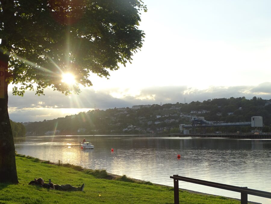
Read about the Atlantic Pond here: 7. The Atlantic Pond | Cllr. Kieran McCarthy