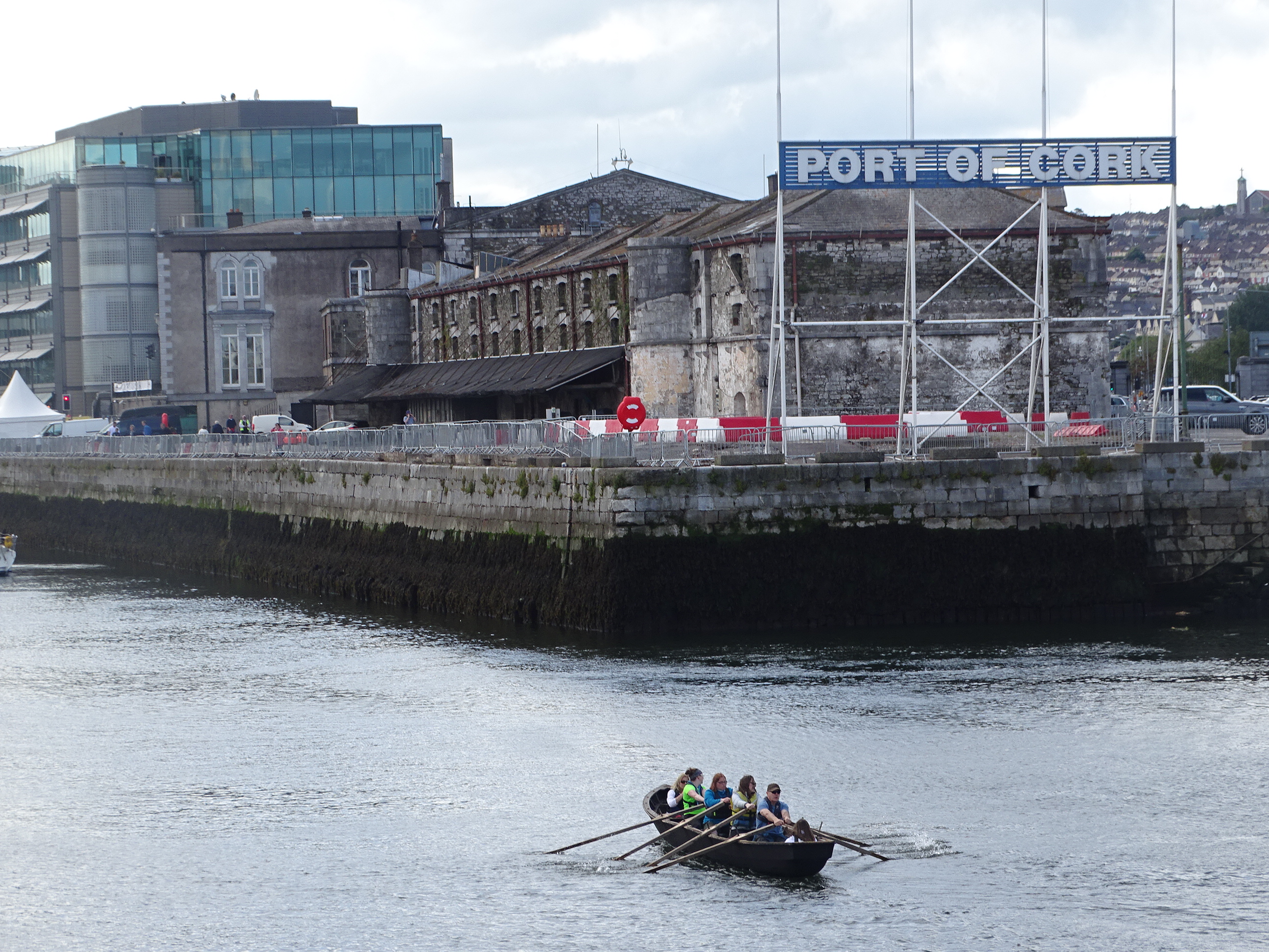
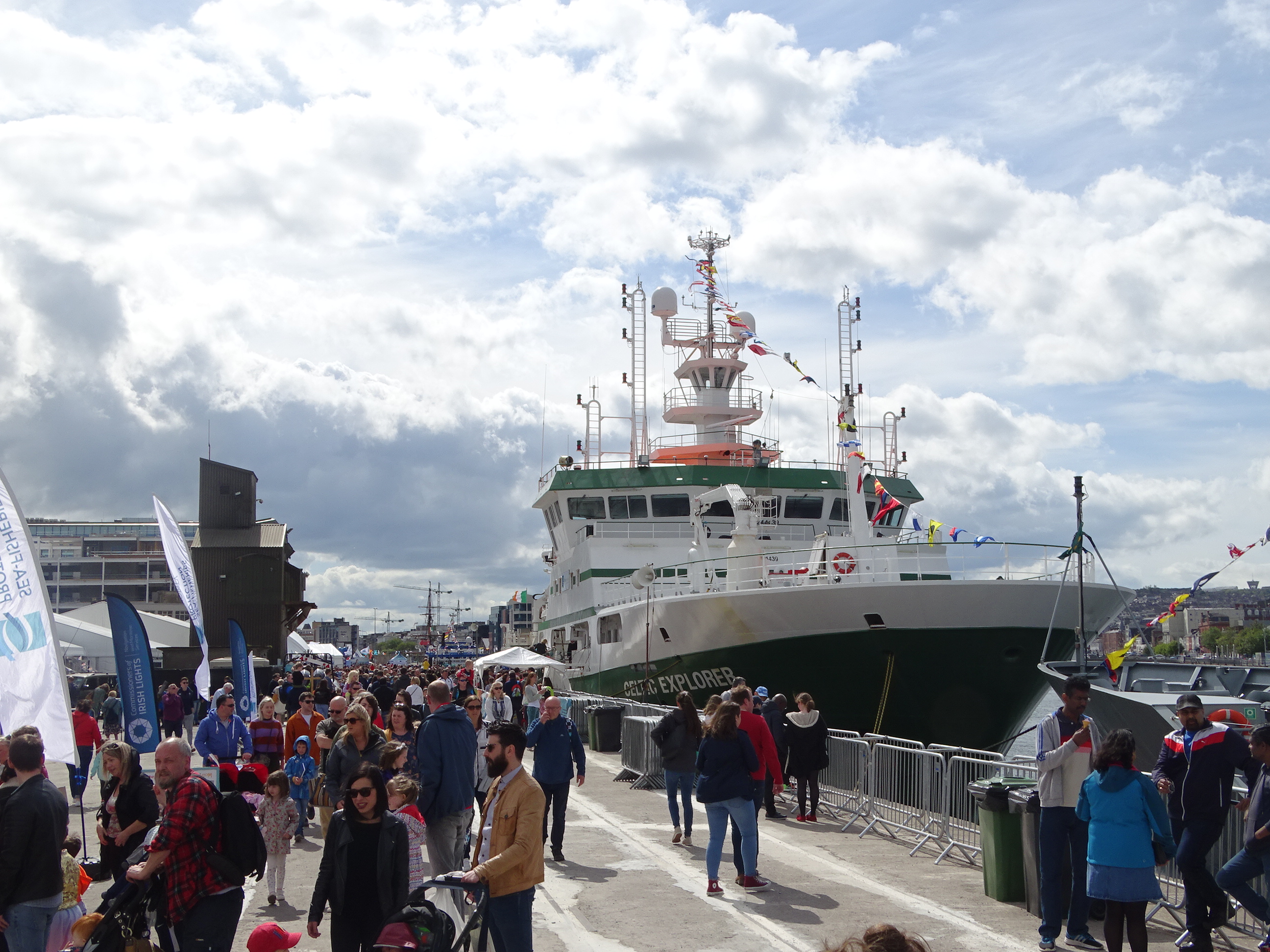
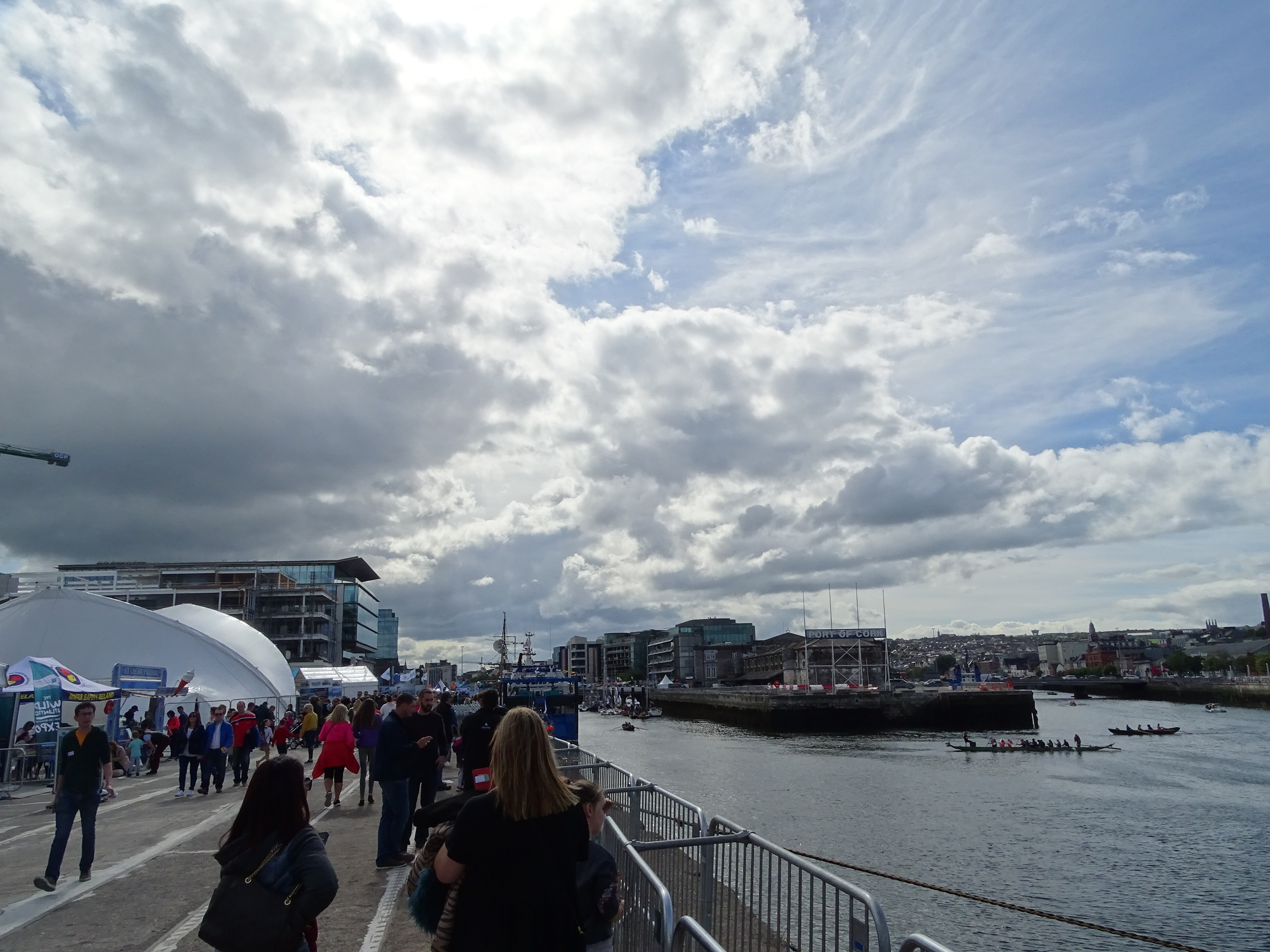
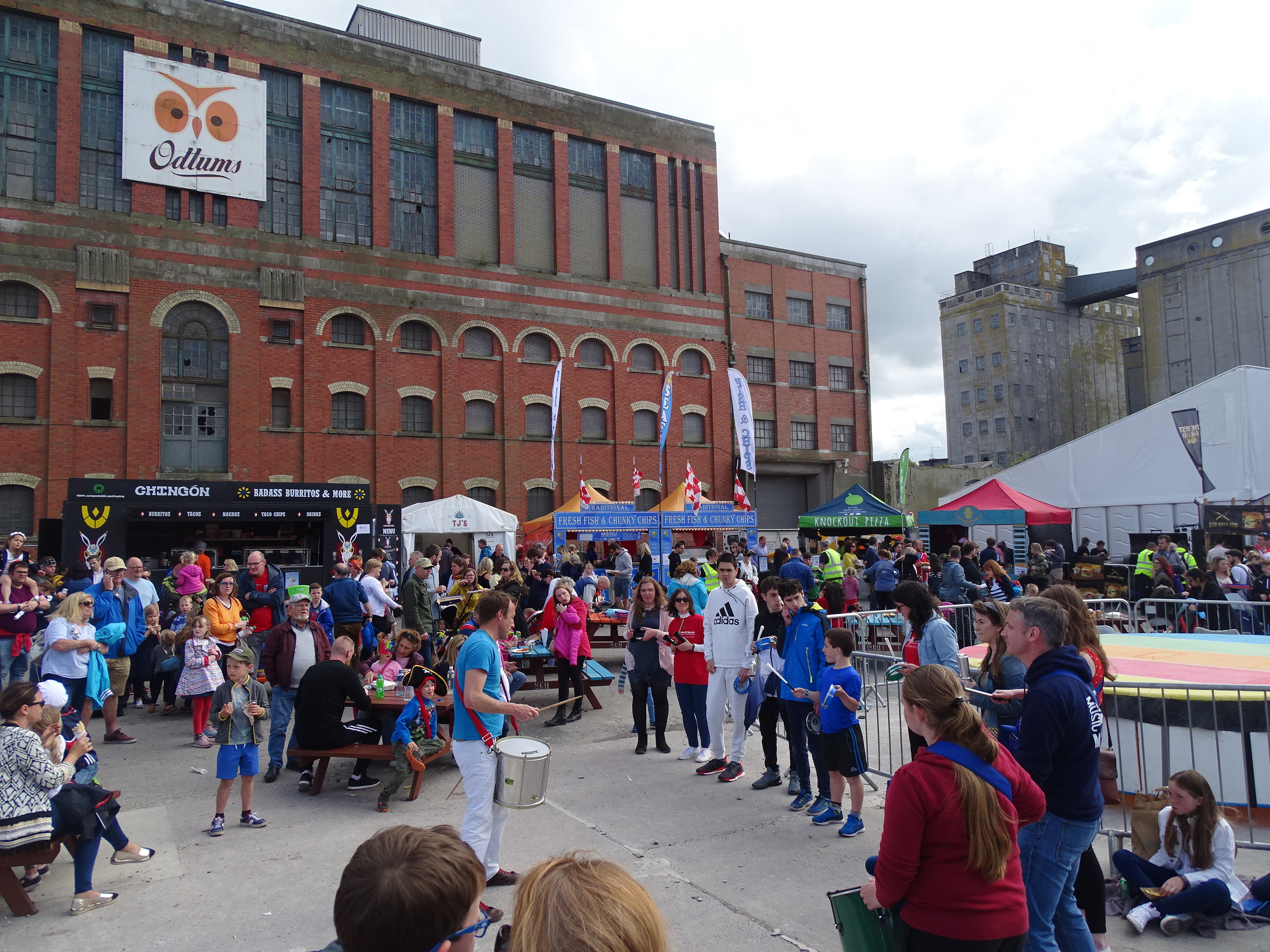
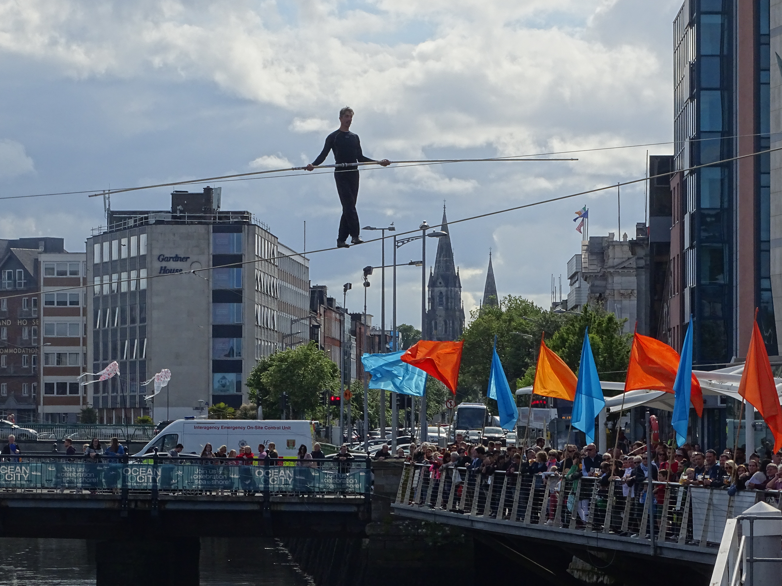
Some pictures I took from this weekend’s on Cork’s south docks – many thanks to all the organisers including Cork City Council, Port of Cork, agencies and volunteers for creating a super event.
Sunday 9 June,Stories from Cork Docklands, historical walking tour with Kieran, learn about the evolution of Cork’s Docklands from its early days through its historical maps, 19th & 20th century industrialisation to housing and community building, meet at Kennedy Park, Victoria Road 2pm (free, duration, two hours, on site tour, part of the Cork Harbour Festival and SeaFest).
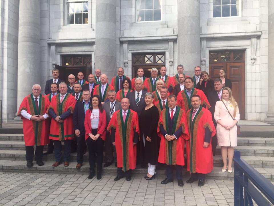
More so than ever before history is being made at this AGM this evening.
In last week’s supplement in the Irish Examiner entitled Cork, City of Change, poet Theo Dorgan described the current feeling in the city as follows.
Quote
“I sense a gathering in, a consolidation of lands and histories and power, of different perspectives on the city that was and the city that is to be”.
End quote. This evening I can really feel the gathering of perspectives on the city expansion, the weave of politics and the weave of different perspectives. Tonight, the city has evolved to a new platform.
Lord Mayor you have a key part of the team involved in influencing the boundary extension and to be present as a civic leader during the beginning of the transition is making history in itself. And I think in years to come the scribes of the city’s history probably will describe you as an evolutionary. But the big picture thinking is just one layer of your interests – citizenship and inclusivity is key of a part of another layer you are engaged with.
This year your speeches consistently provided a platform about themes of collaboration, social inclusion, providing a safe and enriching experience as a citizen – no matter what age you are – a city where values count.
Nano Nagle Reference:
I was intrigued a few weeks ago on the evening of the Lord Mayor’s Community Awards – in your opening gambit you harnessed the words and ethos of one of Ireland’s most influential women Nano Nagle, whose portrait, memory and legacy hangs over the members here.
In 1770s Cork, Nano’s tireless work in her schools across the city and for the poor of Cork could never have been done if she were a sister in an enclosed order. So she founded her own order ‘The Institute of Charitable Instruction of the Sacred Heart of Jesus’ in 1775. Nano and a small group of women thought and cared for the poverty stricken where they lived. For five years, the small cottage near Nano’s first school, on modern day Douglas Street, just south of Cork city centre, was their first convent. Nano then built a small convent on the same street. Nano she died in 1784 at the age of 66 from poor health. Her legacy is told more in the Nano Nagle Centre, which I know is close to your heart in the south central ward.
It is known that Nano walked this great city a lot – there are multiple constructed narratives of her physically holding a lamp and weaving in and out of the dark streets of Cork – as the city’s public lighting was only large wicks in oil. From a metaphorical perspective, I have no doubt people on the streets through her lamp knew she was present and cared – she searched out and engaged with the disenfranchised. She sought to give them a voice. Certainly giving people a voice and presenting an attitude of caring about Cork society has also defined your year.
In those late 1770s and early 1780s Nano would have encountered an Atlantic city of great export – where the harbour and the sea was a huge economic asset – a multitude of wooden sailing ships creaking and bouncing off each other as they were tied up– a diversity of sailors from different backgrounds trying to communicate with each other– a port where the languages of Irish or English were in the minority – a multitude of goods awaiting their shipment, paper work as long as people’s arms – Cork docks was where a Corkonian one day could jump on a ship and a few weeks later emerge from the deck in the Caribbean or in the food markets of Lisbon.
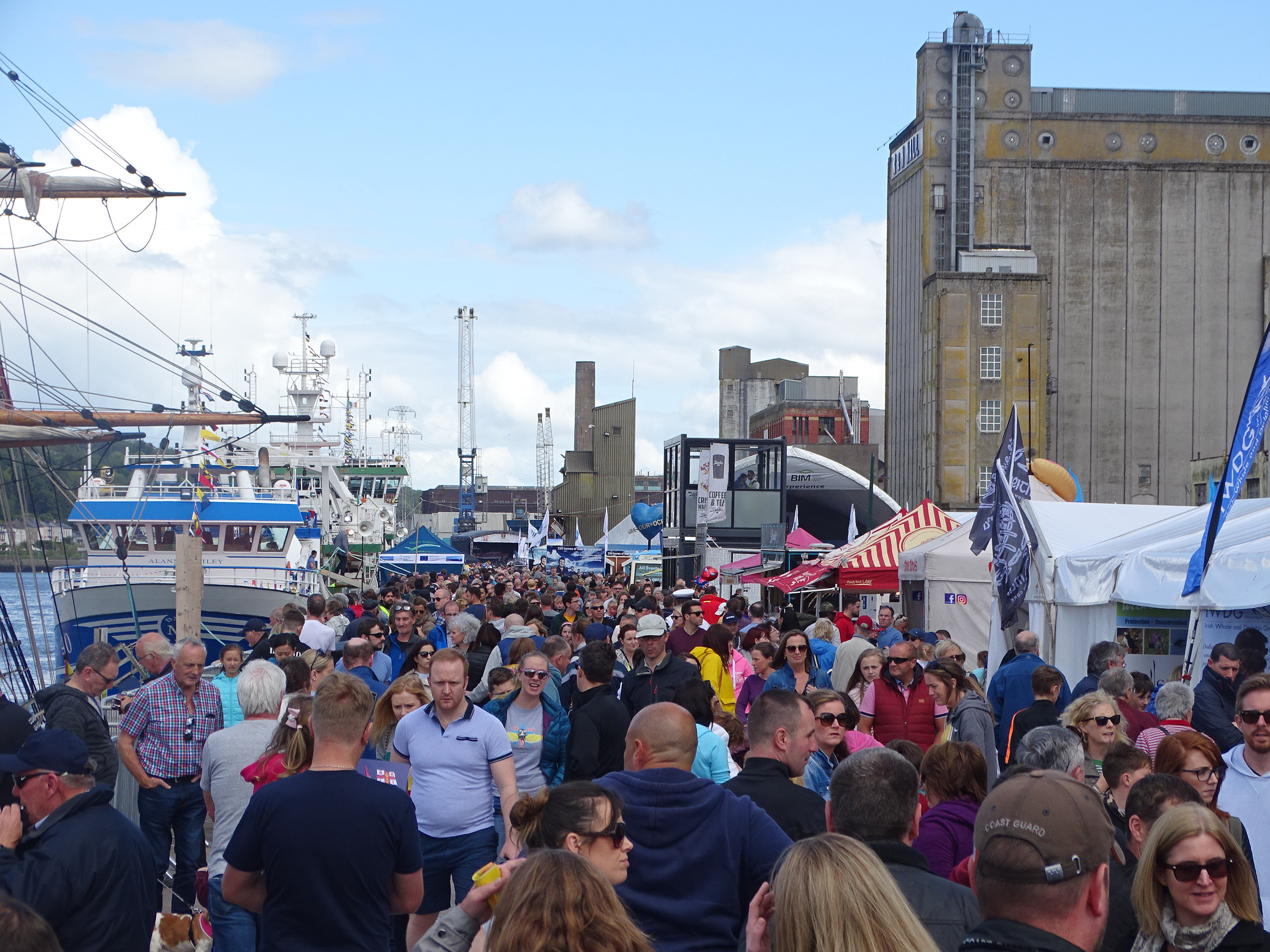
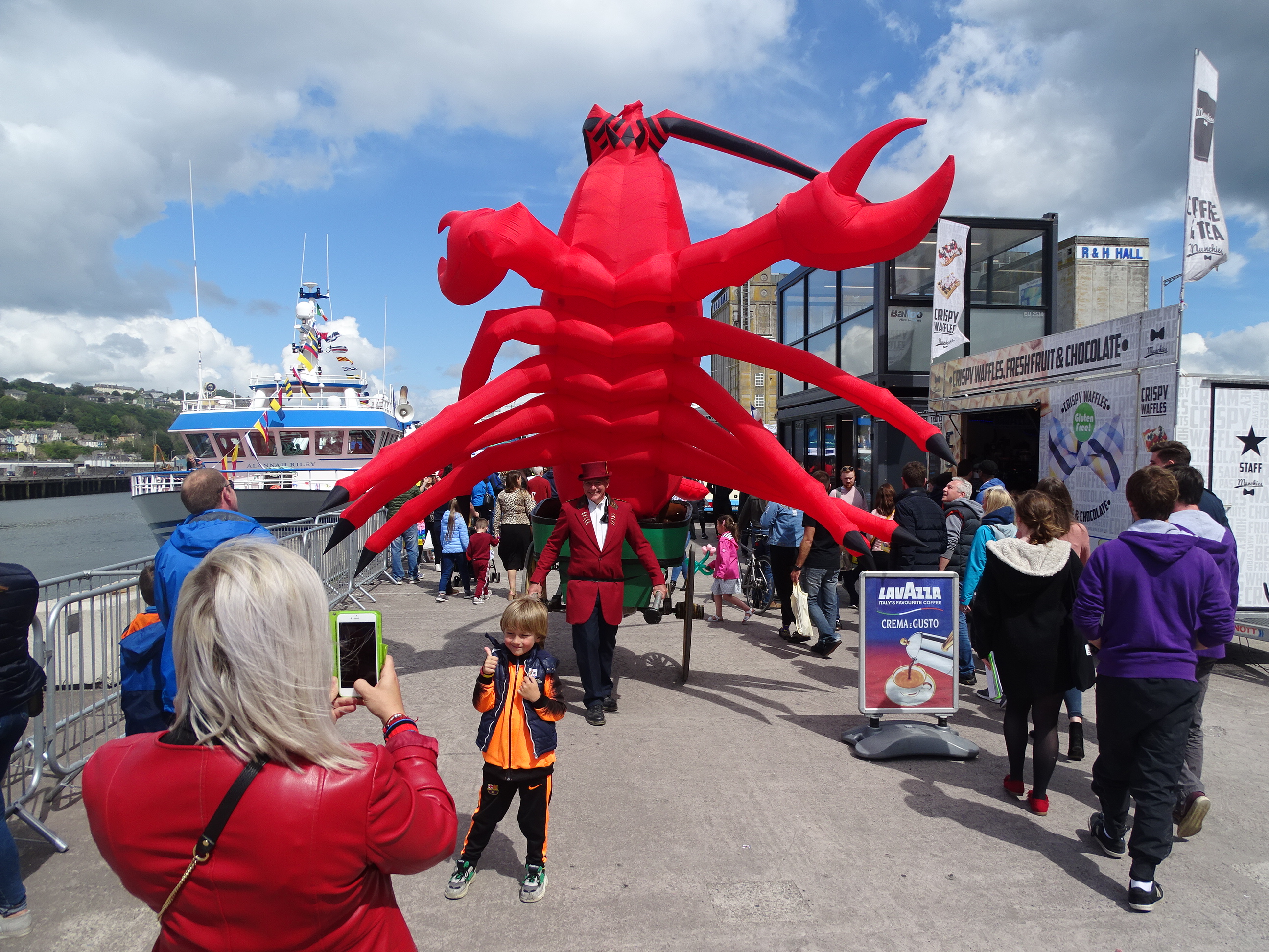
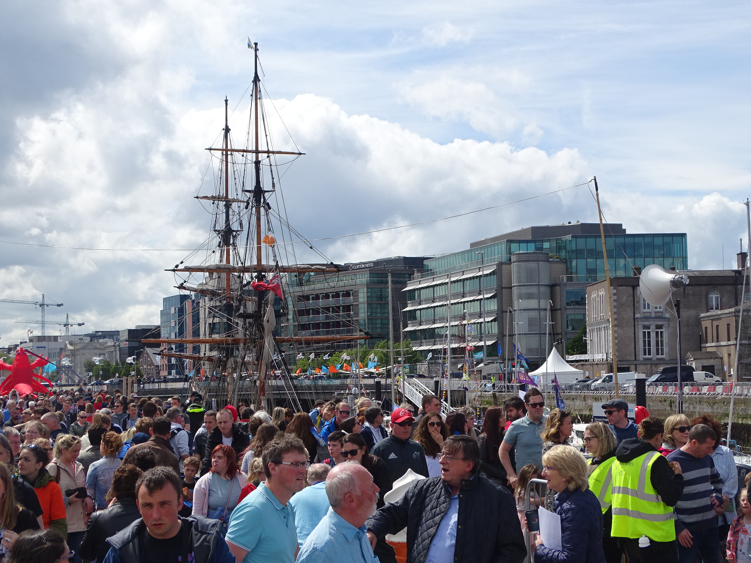
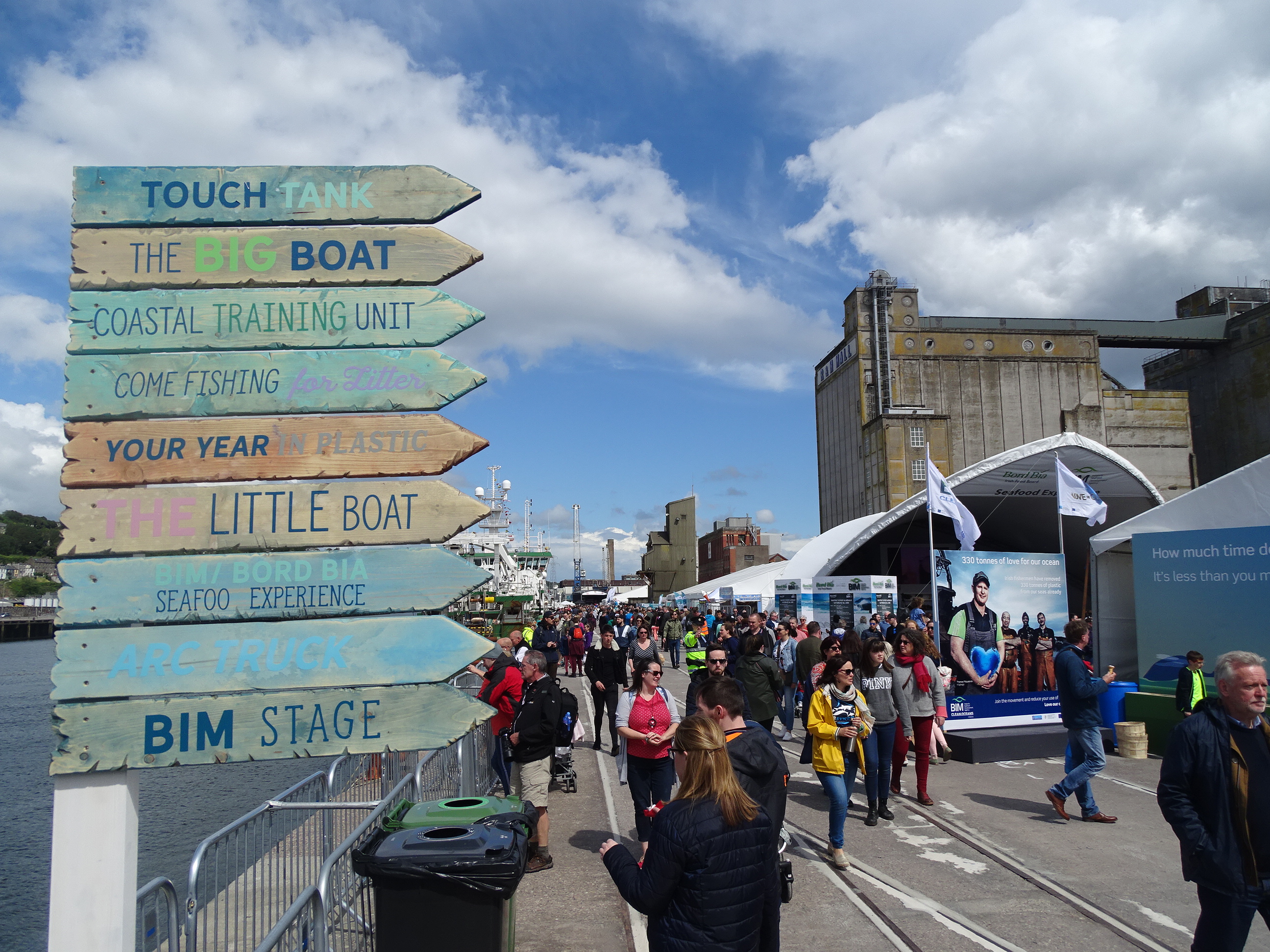
With that in mind it is very heartening to see our harbour heritage being celebrated all week through Meitheal Mara’s Cork Harbour Festival and Seafest, which opened today. I know the development of maritime heritage is close to your heart and fortifications such as the development of Elizabeth Fort.
The World of Nano Nagle:
In the year 1780 Nano’s world of Cork City had a population of 80,000 people, which had risen from 20,000 eighty years earlier – it is a world where one could estimate that just over 20 per cent were employed and many lived and struggled in poor conditions.
I have no doubt that Nano would have listened to debates about the city centre and its expansion from walled town starting around 1700 to populating 75 % of its marshy islands by 1780 – complete with busy quays, mud filled streets, over-flowing canals – and new local electoral areas – and new neighbourhoods all being politically defined as the city expanded..
In 1780 Nano in her wanderings in the city would have heard the debate about filling in the canals of the city – the great dumping of rubbish in them over many years – in particular the great canal which once filled in would create St Patrick’s Street.
Worries reigned with the owners of quaysides who did not want their mooring posts taken away and their mooring rights done away with. They were challenged with a new vision for the city – a move from ship movement to more pedestrian movement. In our time, you also had to lead the thought process for our modern transportation movement strategy.
Nano would have heard before her death the debate in the Council Chamber in the commercial centre called the Exchange on Castle Street about creating a new bridge on the north channel. She would heard the physical uproar from ferry crossing owners about how the new proposed bridge of St Patrick’s Bridge would put them out of business.
Most recently, the history of this bridge you also officially heralded the end of the restoration project of the third bridge on the site.
In 1780 Nano would have possibly seen the 1780 drawing for the south docks where a main street and 20 side streets were planned. You this year led us through the thinking on the expansion of the city on the north docks with the south docks very slowly but surely coming into being.
And finally I always think Nano sould have heard about the debate, cost and dilemma and quest by the Councillors of the emerging city for a new Mayor’s chain. Nano didn’t live to see it being placed on the shoulders of Mayor of Cork Samuel Rowland on 9 June 1787 or to see two gold chains being given to the city sheriffs. All were voted on by the court of D’Oyer hundred – or the city’s assembly of freemen. The sum of £500 was given as a bond by the then Mayor who needed to be paid back, and the money sent onto the London goldsmith. It is unrecorded if he was ever paid back, just in case an ancestor from late eighteenth-century Cork ever appears on City Hall’s doorstep.
Ultimately when you look at that time of the eighteenth century and perhaps whether you realise it or not, your steps this year echoed the ethos of Nano Nagle and her public ethos of charity and social inclusion but also mixed with the world she saw changing – a modern Atlantic City evolving within its time complete with a micro world of challenges and worries – which all still linger in our time and drive this city’s ambition and its future proofing.
To conclude I wish to draw on another bit of Theo Dorgan’s prose from last week’s supplement which connect Nano’s world and ours.
Quote
“Great changes are coming, the worst of the old ways are dust in the wind and the new energies are crackling with light and variousness of daring thought and music. Go on, said one of my brothers, give us a mad vision of Cork in the coming years. Easy I said, it will be the Athens of a new republic, the dream city where a noble past will give birth to a glorious future. He looked at me and said, would you ever cop yourself on. Fair enough I said – getting a bit carried away…but all the same though. What if”.
End quote.
Congrats evolutionary on a super year and to the Deputy Lord Mayor, Cllr Thomas Maloney.
I wish to thank my supporters for voting me in and my family for their support on my election campaign.
Privileged to be back at the first AGM of Cork City Council last evening – thanks again to my small family canvass team and everyone who voted me back in – a new 5-year season of hard work begins 🙂
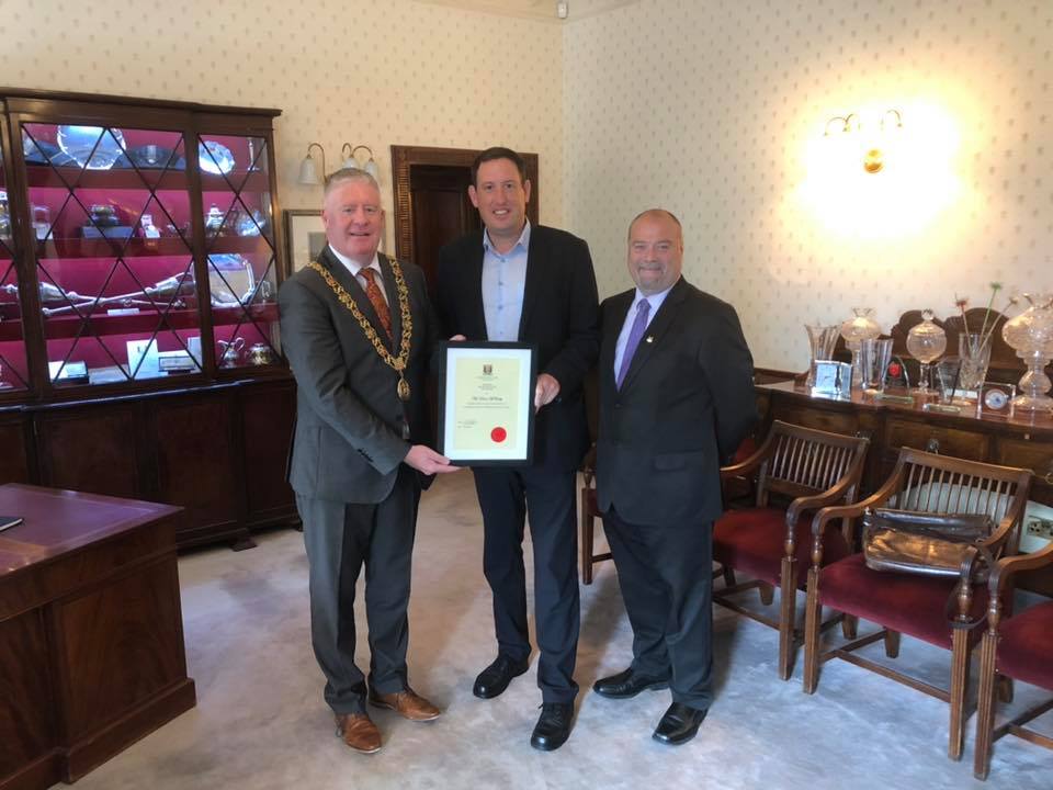
Many thanks to outgoing Lord Mayor of Cork Cllr Mick Finn and Deputy Lord Mayor Cllr Tom Moloney for the presentation certificate of membership of Cork City Council, 2014-2019; I will very proudly add it to my history archive – onwards now for the next five years.
Welcome to the 1,000th column. To mark the occasion and to also coincide with the launch of my new book, The Little Book of Cork Harbour, and the Cork Harbour Festival and Seafest, the next historical walking tour will be of Cork Docklands on Sunday afternoon 9 June (full details at end of column as well as the June walking tours. Below is another snippet from the new book.
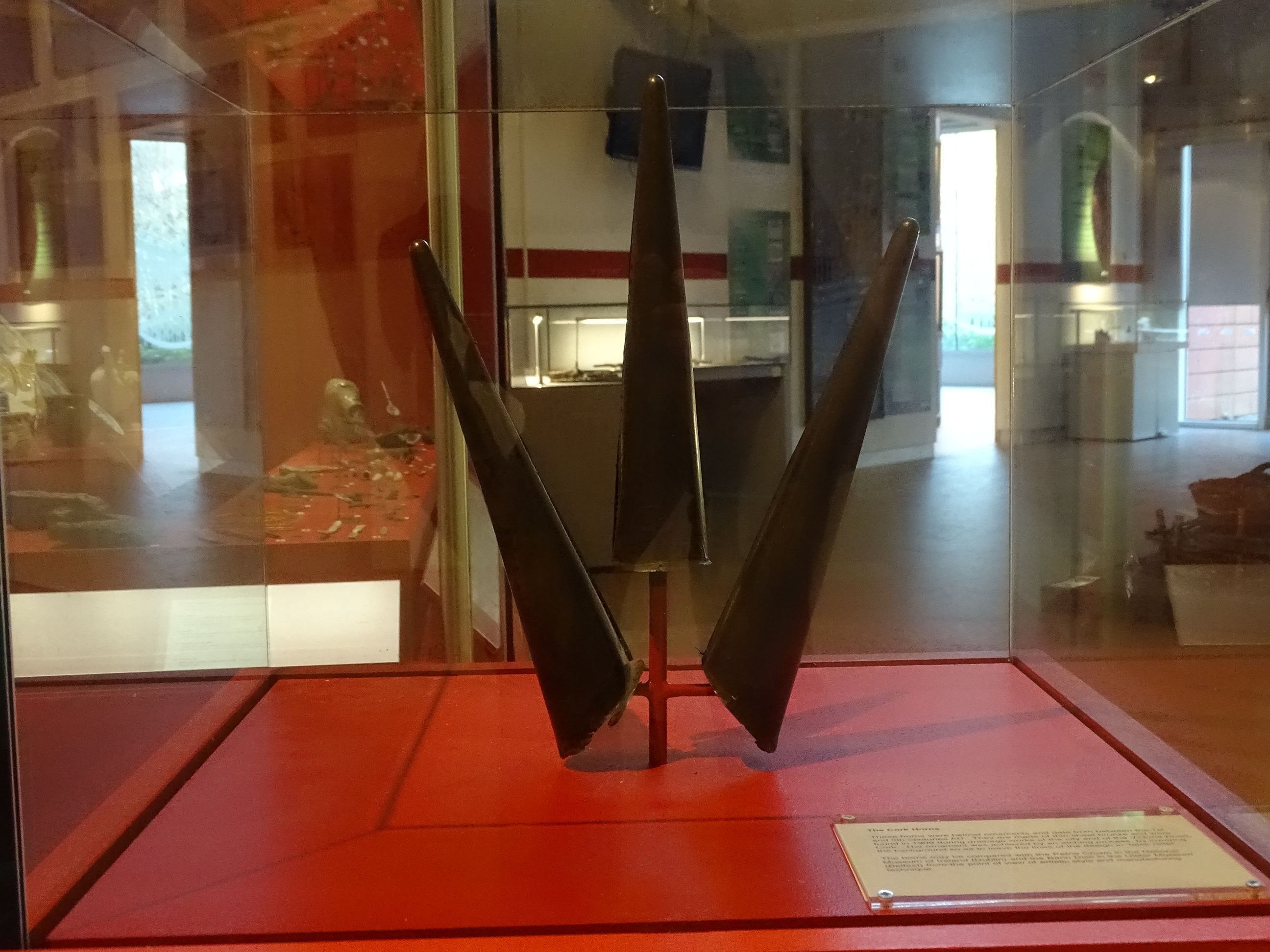
The Cork Horns:
The earliest prehistoric artefact from Cork Docklands was discovered in reclamation deposits near the south jetties in the Victoria Road area of Cork city in 1909. When the excavations for a large tank had gone below river level and while the workmen were working in water, one of them brought up on his shovel a very slender metal cone. Later in the day two other similar cones, attached by metal to each other, were dug up at the same place. From a study of several of the old maps of Cork City, it is clear that in early times this particular area was a tidal salt marsh if not an actual mud flat. Some mud inside the horns resembled the grey mud of slobland along the river. Two of the cones were joined by metal to each other. It appears that the horns were in fact helmet ornaments and perhaps date from the Iron Age. The horns are now on public display in Cork Public Museum.
A Harbour of Shipwrecks:
There are over 400 shipwrecks in Cork Harbour ranging from seventeenth century galleons to twentieth century submarines. The locations of the majority of the 400 though are unrecorded. Ireland’s Underwater Archaeology Unit (UAU) was established within the National Monuments Service to manage and protect Ireland’s underwater cultural heritage. The Unit is engaged in the compilation of an inventory of shipwrecks recorded in Irish waters.
A Modern Port City:
The modern river port of Cork City began to take shape about the middle of the eighteenth century. Consolidation of the marshy islands provided building space and the covering over of the river channels and canals made wide streets possible. Quay walls were built at low water level and could not accommodate ships of moderately heavy burthen, which had to lighten cargo down the harbour for road transport to the city.
Cork Harbour Commissioners:
The formation of the Cork Harbour Commissioners in 1813 concentrated responsibility for the improvement and maintenance of the shipping channels and city’s quays into one organisation. During the following decades the Commissioners instigated an extensive programme of repairing and re-building the quays in limestone ashlar construction and this included the insertion of 8,000 timber toe-piles driven to depths of 21 feet in order to facilitate dredging close to the quays. The Commissioners spent a total of £34,389, raised from harbour fees, between 1827 and 1834 on the improvement of the city quays. Once the quays were in a stable condition the river channels were extensively dredged and the extracted material was used to reclaim areas of slob-land, including the City Park area behind the Navigation Wall. Timber wharfs began to be constructed along a number of the quays in the second half of the nineteenth century, including Albert, Union, Victoria, St Patrick’s and Penrose Quays. In 1874 timber wharves were added to the south jetties. There were seven jetties constructed, each 43 ½ feet wide and initially separated by 120 feet of clear space which were subsequently filled in.
Early Twentieth Century:
During and up to the early years of the twentieth century berths were deepened at low water to keep all shipping afloat at lowest tides. Wharves and deep water quays were built and berths were deepened. In 1919 the Cork Harbour Commissioners acquired from the Board of Trade 153 acres of slobland at Tivoli for the purpose of pumping dredged material ashore, thus creating new land for industrial purposes. This happened over several decades. In the early 1950s oil storage depots were developed on the site. A further ten acres were made available for development circa 1960.
From 1960, modern Cork Harbour began to emerge, with the construction of oil terminals, steel mills, shipyards, deep water ferry port and industrial base. The entire concept of transporting general cargo underwent radical changes with the introduction of containerisation. That brought about revolutionary changes in ports. Whereas previously the only requirements of general cargo services were quays and adjoining transit sheds, the ports now had to provide quays with high load-bearing qualities and wide aprons, specialised container cranes, large marshalling areas for containers and further specialised handling machinery within the container compounds. At Tivoli Industrial and Dock Estate new facilities included new container, roll-on roll-off and conventional berths, a 30-ton gantry-type container crane, a modern transit shed, a passenger terminal and office block and an extensive paved area for the marshalling of containers and commercial vehicles. Thirty-seven acres were allocated for general cargo purposes.
Cork was the first port in Ireland to set up a planning and development department. By 1972 this produced the Cork Harbour Development Plan in which a blueprint was designed for a future which would include sites such as that at Ringaskiddy, Little Island, and Cobh areas. By the middle of the present decade, employment in these industries is likely to exceed 5,000 people and the port’s frequent shipping services are an important factor in attracting new industries.
Next Walking Tours:
Sunday 9 June, Stories from Cork Docklands, historical walking tour with Kieran; meet at Kennedy Park, Victoria Road 2pm, free, duration, two hours, part of the Cork Harbour Festival and Sea Fest, finishes nearby.
Saturday, 22 June, The Friar’s Walk; historical walking tour with Kieran; Discover Red Abbey, Elizabeth Fort, Barrack St, Callanan’s Tower & Greenmount area; Meet at Red Abbey tower, off Douglas Street, 11am; free, duration: two hours.
Sunday 23 June, The Lough & its Curiosities; historical walking tour with Kieran, explore the local history from the Legend of the Lough to suburban development; meet at green area at northern end of The Lough, entrance of Lough Road to The Lough; 2.30pm (free, duration: two hours).
Captions:
1000a. The Cork Horns on display in the Cork Public Museum (picture: Kieran McCarthy)
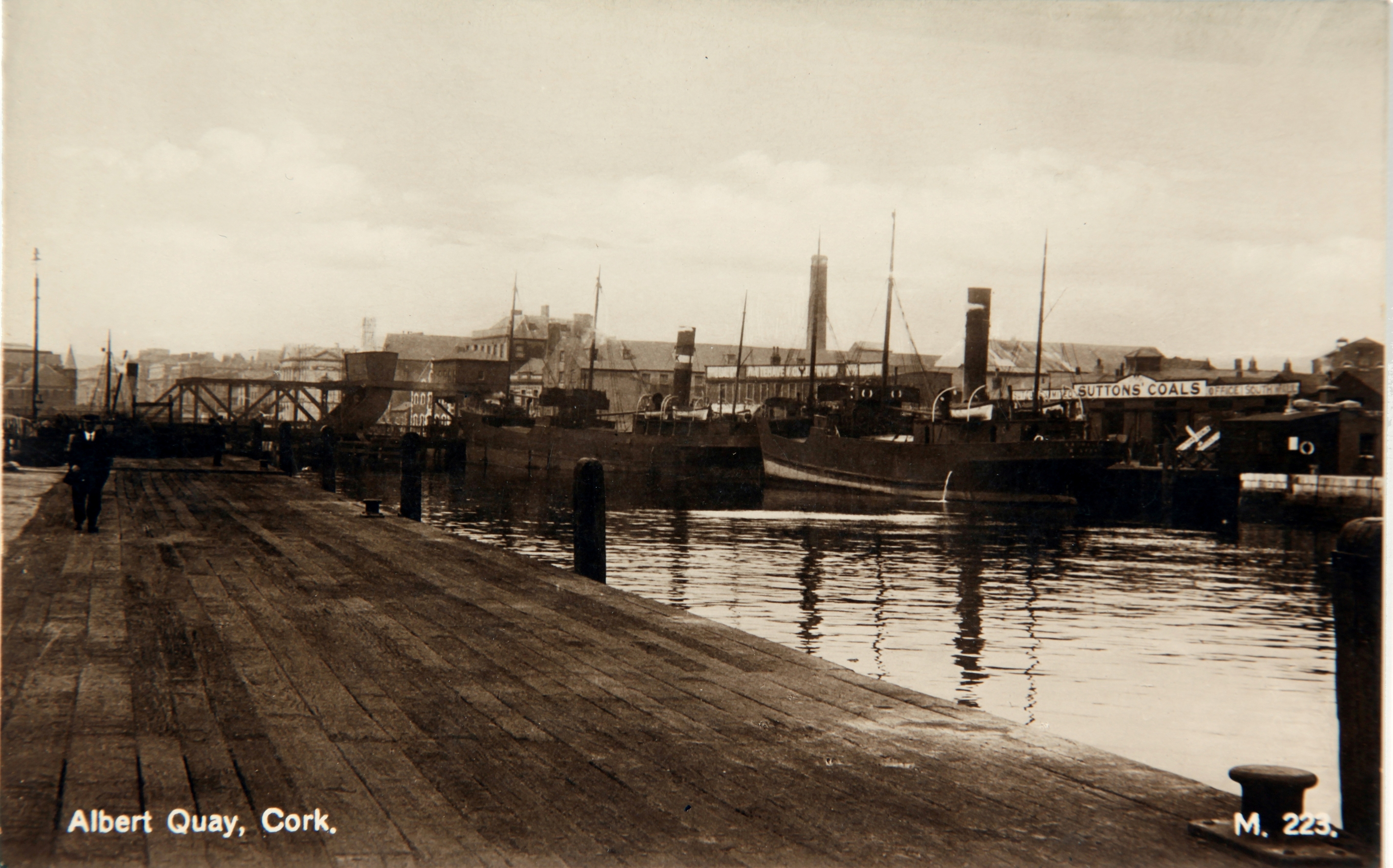
1000b. Albert Quay, c.1900 – Suttons is now marked by the Clayton Hotel formerly the Clarion Hotel on Lapp’s Quay (source: Cork City Museum)
The public has until Wednesday 5 June to make a submission on plans for 472 new homes in Castletreasure/ Maryborough Woods Valley. Cairn Homes lodged a fast-track planning application to An Bord Pleanála seeking permission for 234 semi-detached and terraced houses, along with 93 duplexes and 145 apartments.
If approved the major housing development will be accessed from a new traffic signalised junction on the Carr’s Hill/Carrigaline Road that will be shared by the recently approved Educate Together School.
The development also includes a number of play areas, active amenity spaces and circa 4.4 hectares of landscaped parkland which runs northwest to southeast through the site.
A section of the Ballybrack Greenway is also provided within the parkland which will connect to the existing Cork County Council cycle network at the site’s western boundary.
Following a pre-application meeting with An Bord Pleanála the developers said they were retaining a significant majority of the existing trees and hedgerows in the area and said the overall development will be made up of six distinct neighbourhoods.
A planning decision on the application is expected in August
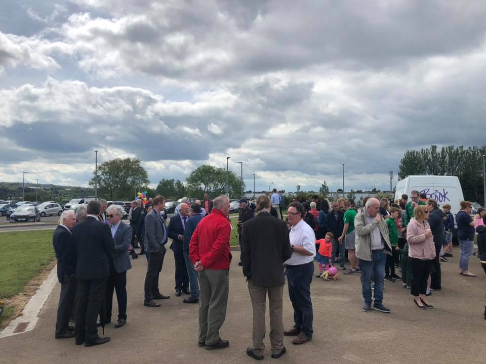
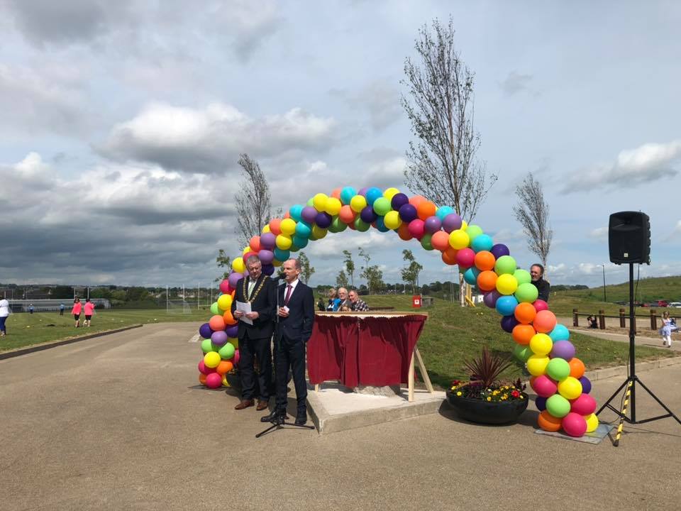
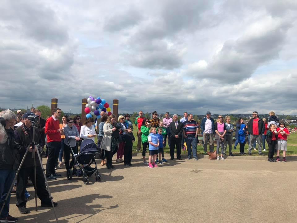
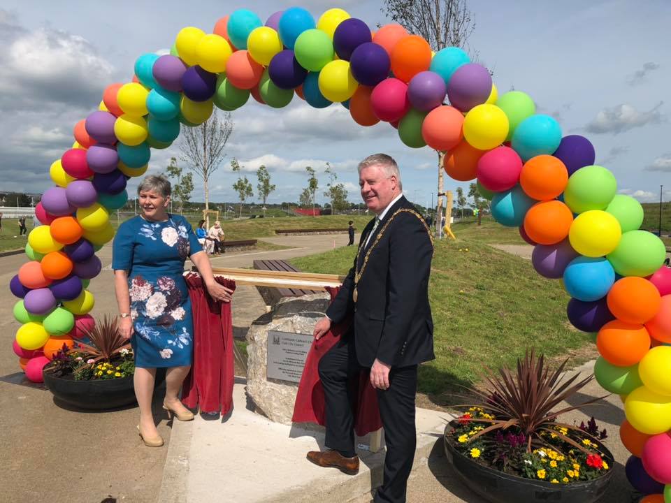
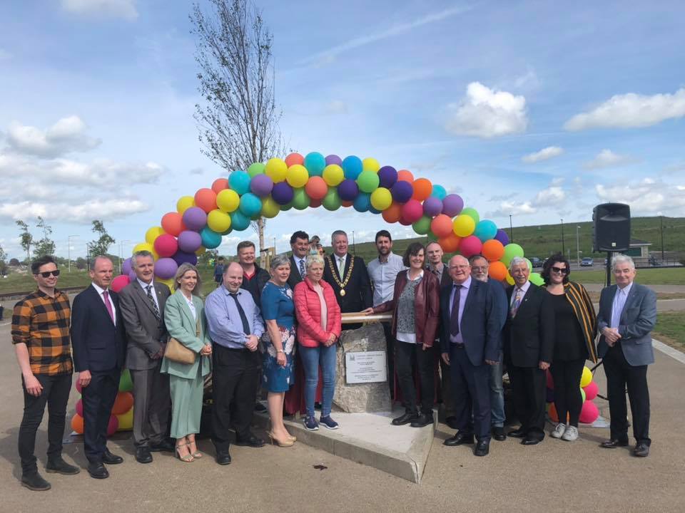
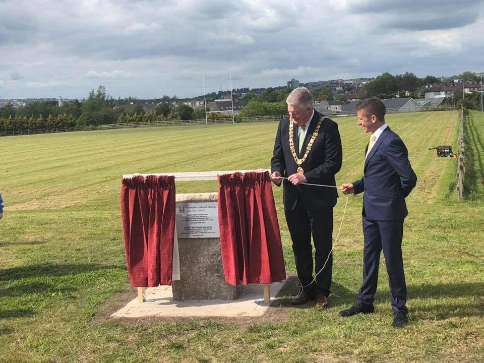
Recreation and Amenity Work – pictures from last week’s opening of phase one of Tramore Valley Park, complete with renaming of Rob Heffernan Walk – further access paths is an ongoing lobby plus the playground proposal.
My new book The Little book of Cork Harbour has recently been published by The History Press (2019). Following on from last week, below is another snippet from the book– focussing on some aspects of Roches Point Lighthouse and Daunt Rock lightship in the harbour.
Roches Point Lighthouse:
Around 1640-1650 AD, the Roche family purchased the Fitzgerald estate (approx 1500 acres) from Edmund Fitzgerald of Ballymaloe and lived for many centuries at Trabolgan. Roches Point at the mouth of Cork Harbour is named after this family. In post medieval times a tower existed on the estate called Roches Tower. In 1759, this tower was taken down.
A letter dated 28th August 1813 from Vice Admiral Thornborough of Trent, Cork Harbour, was read to the Ballast Board on 2 September 1813. In this letter he pointed out the danger of which vessels were put in frequenting Cork Harbour for want of a light house at the entrance to the harbour. This small lighthouse was working by June 1817 but its tower was not conducive to a major harbour of refuge and port, in 1835 it was replaced by the present larger tower.
The year 1864 coincided with further additions to the lighthouse. In September 1864, it was decided by the Ballast Office is Dublin that the lantern at Roche’s Point lighthouse be changed to a red revolving light, showing its “greatest brilliancy once in every minute”. It came into effect on 1 December 1864. On the evening of 1 October 1864, a fixed white light was exhibited from the base of the lighthouse (a second light to the red one). This light was to shine towards seaward, between the bearings of S W by W and S W ½ S or between Robert’s Head and a distance of half a mile to the Eastward of Daunt’s Rock. Mariners were cautioned when approaching Cork Harbour by night to keep to the eastward of the limitations of the white light, until they had passed Daunt’s Rock. A fog bell was also erected which was to be sounded eight times in a minute during thick or foggy weather.
On 1 September 1876 two further improvements were made. The red revolving light in the lantern of Roche’s Point lighthouse was changed to an intermittent white light, showing bright for 16 seconds, and suddenly eclipsed for five seconds. This gave a brighter and more easily distinguishable light. The other improvement was the substitution of a larger fog bell hung from a belfry and sounded twice in a minute, for that which had hitherto bung at the basement of the light house, was sounded eight times per minute. The previous bell was of very little practical use as it could not be heard until a ship had got within the headlands. The new bell on the other hand, could be heard sooner, at a greater distance, and more distinctly.
In March 1888, new tenants were sought for the valuable plot of ground immediately adjacent the lighthouse complete with signal tower and four dwelling-houses, to be held for a long term at the yearly rent of £30. The houses had been availed of by the late owner as a commanding position offering means of communication with passing vessels.
By the early twentieth century, Roches Point had a fixed light 60 feet above high water with a visibility of 13 miles. It also has a recurring light, 98 feet, above high water, which can be seen fifteen miles away in clear weather.
By July 1970, Roches Point Lighthouse was all electric with a mandley generator to take over in case of ESB power failure. Formerly the light functioned by use of vaporised oil through a special type regenerative burner. The power of the light was also increased to being white 46,000 candelas and red 9,000 candelas.
By 30 March 1995 the presence of somebody physically watching out for mariners disappeared forever, at 11am when the three lighthouse keepers left the facility for good. The workings of the equipment became automated and were to be monitored from a lighthouse depot in Dun Laoghaire, Dublin. As to the foghorn the Commissioners for Irish Lighthouses decided that with modern shipping equipped with GPS navigation systems the foghorn, had become costly to maintain or replace, so it was no longer required.
Daunt’s Rock Light Ship:
Daunt’s Rock is between four and five miles south west of Roche’s Point and was named after a Captain Daunt whose British man-of-war ship hit the rocks and sank in the earlier part of the nineteenth century.
Up to 1865 it was beyond the limit assigned to the Harbour of Cork by the British Navy. It was not marked on the Admiralty Chart of Cork Harbour. In April 1864 following the smashing of the ship City of Cork upon the Rock, the Board of Trade strongly urged to remove the rock as soon as possible. They proposed that until its removal was implemented, to protect it by a lightship. Engineer Sir John Benson was requested to make an accurate survey of the rock.
By June 1865 a bell boat beacon was placed to mark the position of Daunt’s Rock. It was shaped like a boat and was surmounted by a triangular superstructure of angle iron and lattice work, which was coloured black, with the words “Daunt’s Rock” marked in white letters on it. The ball on the top of superstructure was 24 feet above the sea, and the beacon was moored within 120 fathoms SSW of the Rock and in 12 fathoms at low water spring tides.
In June 1974, The Irish Lights commissioners announced that they intended to withdraw the Daunt’s Rock lightvessel outside Cork Harbour and replace it with a high focal plane flashing buoy painted black and white. When the lightvessel was taken away in August 1974, radio beacons were established on the Old Head of Kinsale and at Ballycotton. The withdrawal followed the general pattern of Irish Lights policy. In the 1970s four lightships on the east coast of Ireland were replaced by flashing buoys.
The Little Book of Cork Harbour (2019) by Kieran McCarthy is published by The History Press and is available in Waterstones, Vibes and Scribes and Easons.
Next Walking Tour:
Sunday 9 June, Stories from Cork Docklands, historical walking tour with Kieran; meet at Kennedy Park, Victoria Road 2pm, free, duration, two hours, part of the Cork Harbour Festival and Sea Fest, finishes nearby.
Captions:
999a. Roches Point Lighthouse, early nineteenth century by H Morgan (source: Cork City Library)
999b. Public open day at Roches Point Lighthouse, 4 June 2017 – celebrating 200 years since its construction. The event was organised by the Cork Harbour Heritage Alliance in association with the Commissioners of Irish Lights (picture: Kieran McCarthy)