The back issues of my Our City, our Town column in the Cork Independent, which explored the period from 1916 to 1918 are on the index of my website, www.corkheritage.ie and the articles from this column from the last ten years are now online and accessible to read. Before that many are published in book format and the titles of these books can be viewed on the website. In addition, I post extra articles and pictures on my heritage facebook page, Cork Our City, Our Town or check out my twitter page at @cllrkmac.
Cork City Council, in collaboration with Cork County Council and the Office of Public Works (the funding authority for the scheme), intends to undertake engineering works along the Ballybrack Stream, Grange Stream and Tramore River with the objective of reducing the risk of flooding in the areas of Douglas.
The Scheme is designed to provide protection to the design standard of 1 in 100 year rainfall/1 in 200 year tidal event.
McGinty & O’Shea Ltd has been awarded the works contract (€5.5m) for construction of the Douglas Works package and the works are due to commence in August 2019.
The works contract has been divided into 5 areas as shown in Plate 1 below. With the exception of Area 1, works in rivers are constrained to the months of May to September (inclusive) as required by the planning permission and Inland Fisheries Ireland. Also, following the principle that the works cannot increase the flood risk during the construction phase, instream works will start downstream and work upstream.
The works will be constructed on private property in a number of locations. The project team have been liaising with these property owners over the last 2 years to facilitate the construction of the works under agreement.
The following table gives an indication of the types of construction in the relevant areas. All time frames are provisional and subject to clarification by the Contractor.
General Construction Activities.
Area 1 – St Patrick’s Mills
Construction of flood defence wall.
Likely timeframe for Construction – Winter 2019
Area 2 – Douglas Community Park
Construction of flood defence wall and river bank stabilisation. River widening and regrading. Hard and soft landscaping.
Likely timeframe for Construction – Autumn 2019
Area 3 – Church Rd
Replace culvert, river widening and flood defence walls.
Likely timeframe for Construction – Summer 2020
Area 4 – Ravensdale and Ballybrack woods
Replace access bridges, river widening and flood defence walls. Course screen in Ballybrack woods.
Likely timeframe for Construction – Summer/ Autumn 2020
Area 5 – Donnybrook Commercial centre.
Replace culvert, river regrading and course screen.
Likely timeframe for Construction – Autumn 2020
Works to Douglas Community Park:
It is intended that works commence in Douglas Community Park in the August 2019, however this is to be confirmed by the Contractor.
The Contractor will install safety barriers along the west edge of the cycle track and this half of the park (between the cycle track and the river) will be out of public use for the duration of the works in Area 2. It is estimated that the works to the park will take approximately 5-6 months to complete.
Due to the extensive planned works to Douglas Community Park and Church Road, the opportunity was taken by Cork County Council Architects Department to deliver a public amenity outcome from the Flood relief works. This was as envisioned in the Douglas Land Use Transport Strategy 2013 (DLUTS) to deliver public Realm outcomes for the community.
The river will be visually opened to the park to create a pleasant riverside walking and viewing areas which are accessible and safe. Quality materials and bespoke furniture will be incorporated to provide place making and flexible use of public space for community events.
The widening of the river and the replacement of the left bank with a gabion wall (on private lands) reduces the space allowable for replanting of trees. To account for this, relocation of proposed trees and scrubs was designed in cooperation with a Landscape Architect Consultant to create screening and sheltering at appropriate locations. Where possible, existing trees will be retained and incorporated into the revise layout plan. Selections of scrubs and grasses are included to compliment the tree planting.
Compensation replanting will also be provided in other areas of the community to account for any net loss of trees to the park/Church road. The location of these areas will be identified in consultation with Cork City Council Parks Department and the Tidy Towns Association.
An information poster has been designed to inform the local community and park users of the project and the proposed finish for the park.
For more information on the development of the scheme please visit www.DouglasFRS.ie
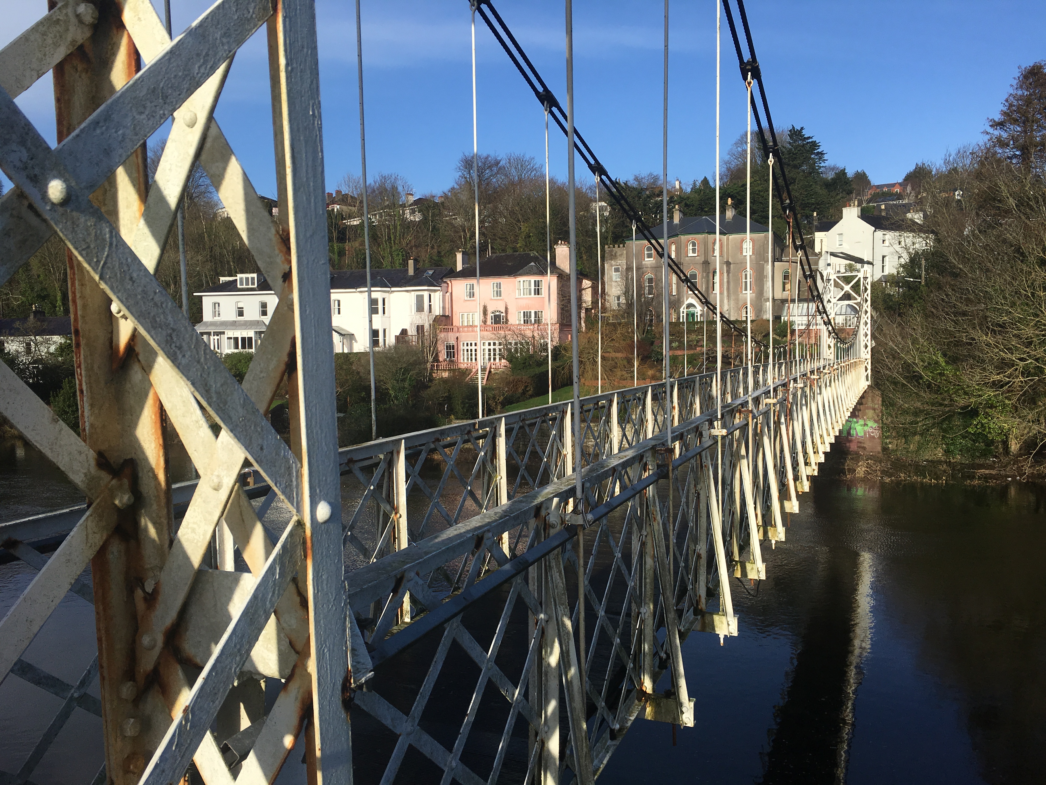
Cork City Council, in conjunction with the Department of Transport, Tourism and Sport, is set to begin works on the repair and restoration of Daly (Shakey) Bridge during week commencing 12th August 2019.
The estimated €1.7 million works on the city’s iconic bridge will address extensive corrosion and damage to the heritage structure. Daly (Shakey) Bridge is unique in Ireland as the only surviving pedestrian suspension bridge of its type and age.
Rehabilitation and conservation works on the main steel structure of the 50.9 metre suspension bridge will include:
Vegetation removal, cleaning and graffiti removal
Phased dismantling of the latticed deck for removal off-site for grit-blasting, repair & repainting before reinstatement
Removal and replacement of timber decking
Repair and repainting of existing lattice towers in-situ;
Replacement of suspension cables;
Phased re-erection of the restored bridge structure;
Upgrade approach ramps including railings, surfacing and landscaping;
Removal and repair of cast iron railings (south bank);
Installation of new public lighting to approach ramps and bridge structure;
General ancillary works.
It is intended that the works will extend the life of this important heritage structure and protect and improve an important public amenity.
It is expected that the works will be completed and the bridge reopened to pedestrians by Easter 2020.
Pedestrian Access:
Pedestrian access to Daly (Shakey) Bridge and its approaches will be prohibited throughout the works. The existing alternative pedestrian route between Ferry Walk and Sunday’s Well Road via Mardyke Walk/Western Road/Thomas Davis Bridge (near the Sacred Heart Church) /Sunday’s Well Road will be maintained.
Access to the existing riverside pedestrian walkway between Fitzgerald’s Park/Ferry Walk and Western Road/ Thomas Davis Bridge will be also maintained subject to normal time restrictions.
Design/Construction Team
Cork City Council appointed a multi-disciplinary Design Team with experience in the repair and rehabilitation of heritage and protected structures. This Design Team includes RPS Consulting Engineers, with offices in Ballincollig, JCA Conservation Architects, based locally at Sunday’s Well Road, Corrosion Solutions & Inspection Services from Dublin as well as in-house expertise.
Cork City Council recently appointed L&M Keating Ltd. of Kilmihil, Co. Clare, as main contractor for the works. L&M Keating Ltd. has recently completed construction of the Mary Elmes Bridge providing pedestrian and cyclist access between Merchant’s Quay and St. Patrick’s Quay in Cork City.
Work Chronology:
It is anticipated that works will commence in mid August. The contractor’s site compound will be setup on the south bank of the river at Ferry Walk, directly adjacent to the north western corner of Fitzgerald’s Park.
The main bridge structure will be dismantled in sections, as per originally assembled, and lowered onto a barge. This will make the handling and transportation process more manageable and safer. The barge will be moved to the south bank where each of the sections will be lifted separately onto a flatbed transporter and taken to the off-site specialist workshop.
Once delivered to the specialist workshop, each of the bridge sections will be extensively cleaned with all corrosion removed. Defective steelwork will be repaired followed by the application of a protective coating and layered repainting under factory conditions. In accordance with Conservation Best Practice the guiding philosophy for these works will be to conserve as found. It is intended to return the bridge to site in sections as previously removed and re-erect as per the dismantling process in reverse.
Once the main bridge structure has been dismantled and removed, both remaining bridge towers will be encapsulated to prevent any material from entering the adjacent watercourse. Works to each tower will be undertaken in-situ, commencing with extensive cleaning and removal of corrosion. Defective steelwork will be repaired followed by the application of a protective coating and layered repainting. During the same time period, the existing suspension cables will be removed and replaced with new cables currently being manufactured in Italy.
Dismantling the bridge for repair off-site under factory conditions is considered best practice and has been undertaken successfully on a number of similar bridge schemes across Europe.
Notes to Editor:
Daly (Shakey) Bridge is a single-span steel suspension bridge which spans the north channel of the River Lee in Cork City and provides pedestrian access between Sunday’s Well to the north and Fitzgerald’s Park and Ferry Walk in the Mardyke area to the south.
Completed in 1926 and opened in 1927, it was constructed by the London-based David Rowell & Company of Westminster in London to a specification of Stephen W. Farrington, the then Cork City Engineer. It was then, and still is the only suspension bridge in Cork City. Built to replace an old ferry crossing at the location, the bridge takes its official name from Cork businessman James Daly, who contributed to the cost of construction.
Daly’s Bridge is included on Cork City Council’s Record of Protected Structures (PS722) and is recorded on the National Inventory of Architectural Heritage (ref. 20866038), where it has Artistic, Historical, Social and Technical categories of special interest, and a Regional significance rating.
Saturday 17 August 2017 – Historical Walking Tour of Cork City Hall with Kieran, 11am, ticketed (free, part of Cork Heritage Open Day; duration: 75 minutes; details at www.corkheritageopenday.ie)
Sunday 18 August 2019, Cork Through the Ages, An introduction to the historical development of Cork City with Kieran; meet at the National Monument, Grand Parade, 6.45pm (free, duration: two hours).
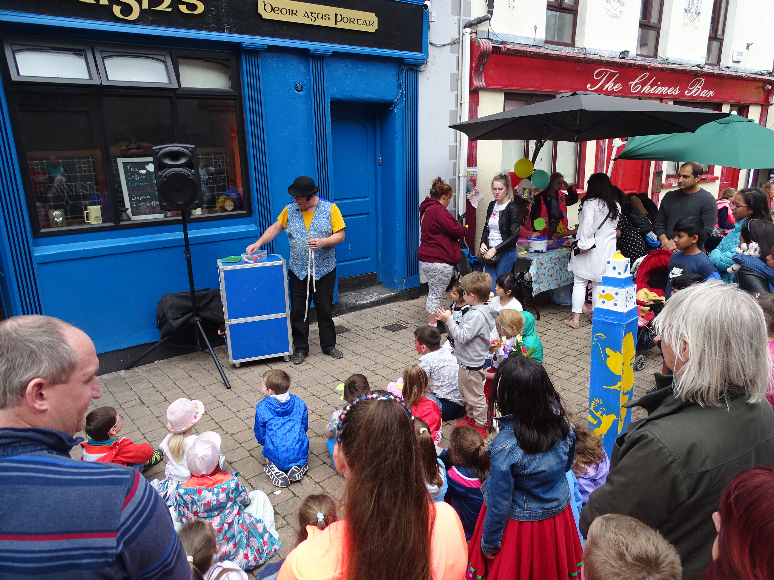
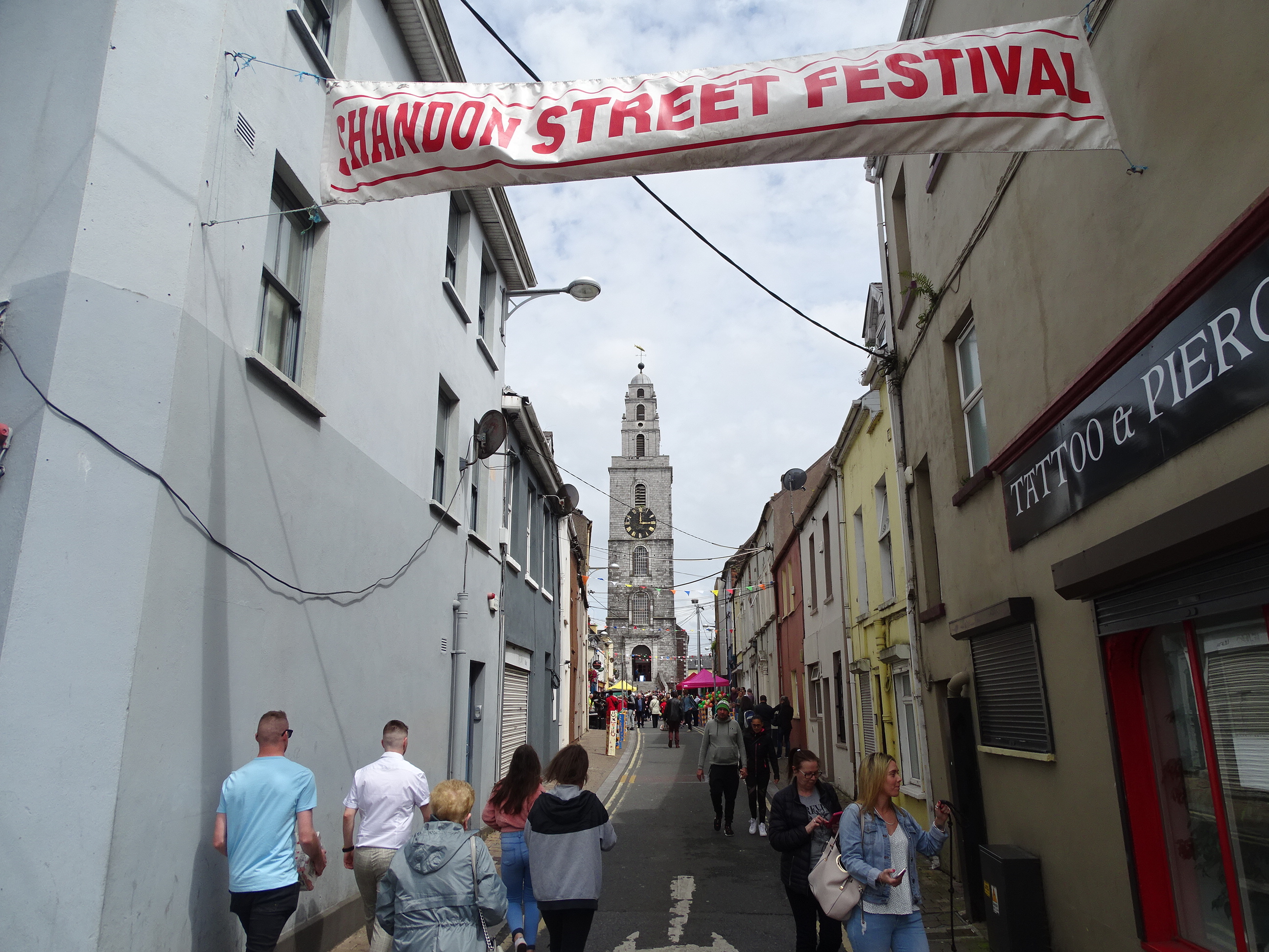
Monday 19 August 2018, Shandon Historical Walking Tour with Kieran, explore Cork’s most historic quarter; meet at North Gate Bridge, Shandon Street, 6.45pm (free, duration: two hours).
Tuesday 20 August 2019, The Victorian Quarter; historical walking tour with Kieran of the area around St Patrick’s Hill – Wellington Road and McCurtain Street; meet on the Green at Audley Place, top of St Patrick’s Hill, 6.45pm (free, duration: two hours)
Thursday 22 August 2019, The Lough and its Curiosities; historical walking tour with Kieran; meet at green area at northern green of The Lough, entrance of Lough Road to The Lough; 6.45pm (free, duration: two hours)
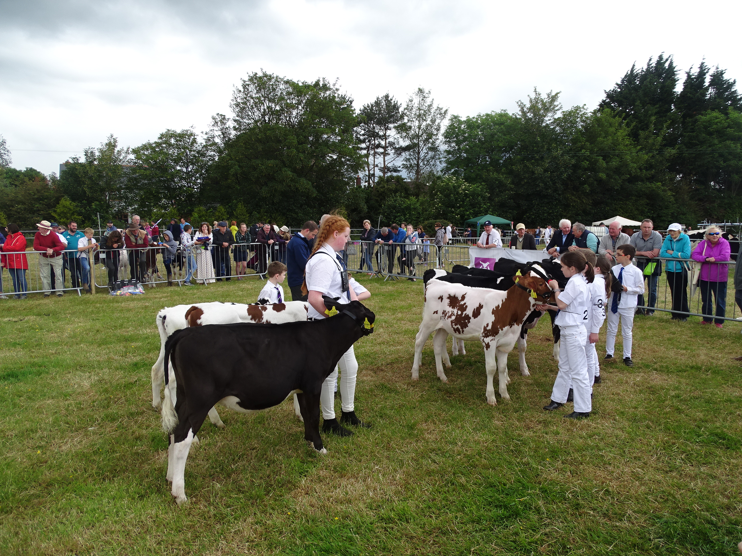
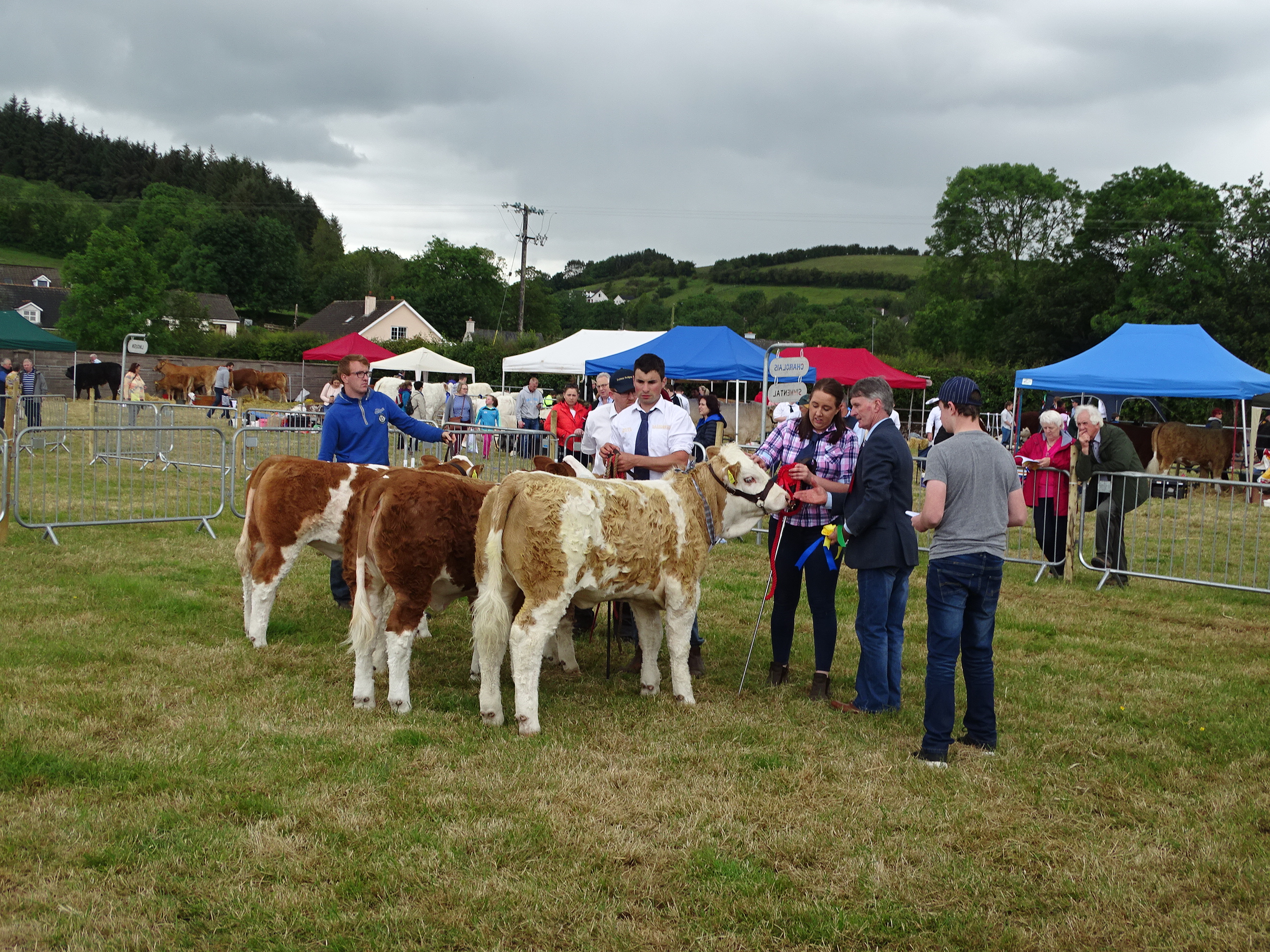
Friday 23 August 2019, Douglas and its History, historical walking tour with Kieran in association with Douglas Tidy Towns; Discover the history of industry and the development of this historic village, meet in the carpark of Douglas Community Centre, 6.45pm (free, duration: two hours, circuit of village, finishes nearby).
Saturday 24 August 2019, Park Stories, Historical walking tour of Fitzgerald’s Park with Kieran, explore the history of Cork’s Mardyke, which is celebrating its 300th birthday this year; meet at band stand in park, opposite Cork City Museum, 11am (free, duration: two hours).
For me the derelict site fine has become too blunt an instrument to deal with dangerous buildings in older parts of the city. At this moment is time, landowners are fined 3 per cent per year of the land value. However, it was heard during a Council finance committee meeting last week that under five per cent of the fines can be only drawn down by the Council due to many long term derelict sites in limbo with their legal title and in NAMA.
There are over 100 registered derelict sites in Cork City, which have been identified as derelict and unsightly and whose landowners have been fined. It’s an absolute disgrace that some owners have left their buildings in such a state over decades. I have no problem with someone who genuinely cannot develop their premises for financial reasons and who board up their building accordingly plus then develop when they can- But I have a huge problem with landowners with no sense of civic responsibility, who let their properties fall into disrepair and who create rotting concrete wildernesses”.
Even in my own ward from Ballinlough to Donnybrook, there are empty properties- where the owners seem to have disappeared. Many could be turned back around into housing units. Many are the ongoing concern of neighbours – fearful of rodents or fire or generally bringing down the calibre of an area. There must be quicker mechanisms to cut through the red tape- especially legal title and NAMA related properties.
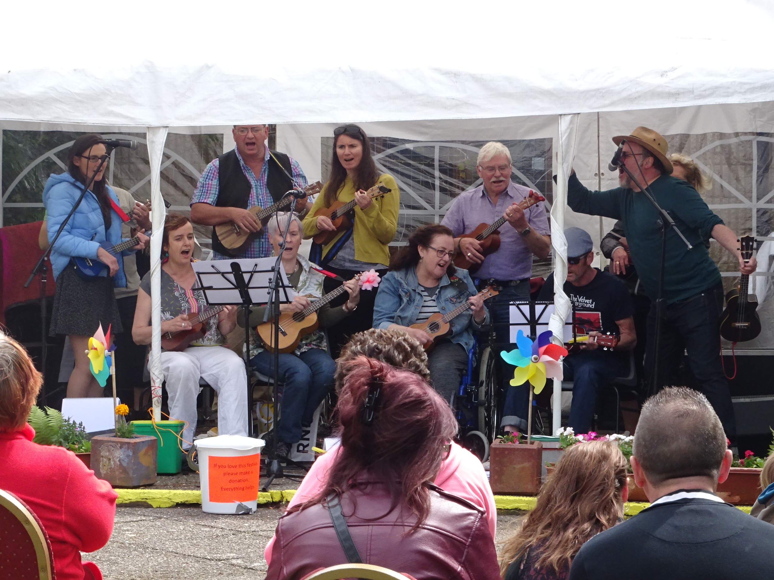
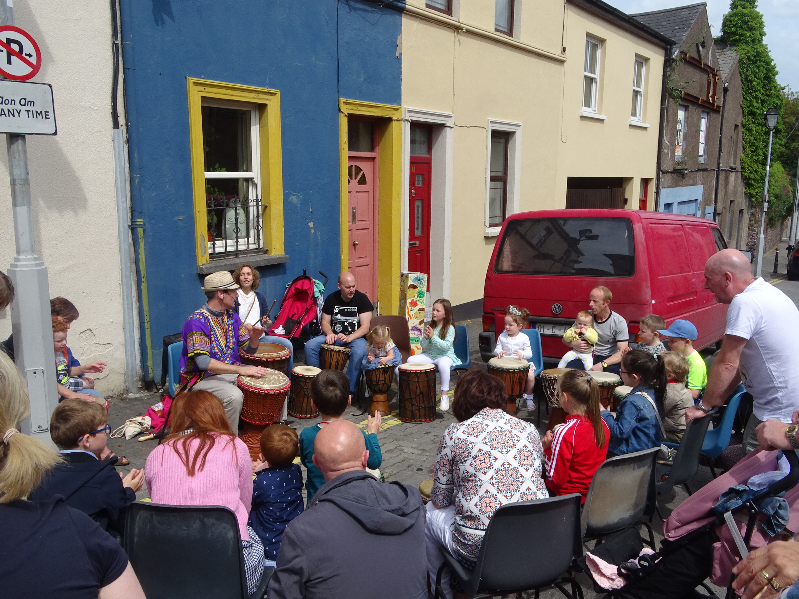
There is a need to have a proper inner-city renewal plan. For too long places like North and South Main Street, Shandon, Barrack Street & Blackpool are limping on….indeed only for the Shandon Area Renewal Area group, volunteers, Cork Community Art Link…Shandon Street would be further down the road of dereliction…indeed such groups have added to the creative hub of the city. We need to build more of such groups.
Barrack Street is more or lost except for the traditional pubs that survive on student trade.
It always seems to me that there is no vision for such streets, no way forward. Shandon Street should be recognised officially as key heritage quarter.
History is oozing out of these areas.
And I see this week as well its two years since the burning of the former St Kevin’s Hospital. it is still now an abandoned and burned heap of heritage with no plan for it…the city needs a vision for such heritage markers.
The city centre needs to the core attractive place to live, work and visit; to safeguard, protect and enhance the built heritage and promote a sustainable, diverse and integrated residential and business community.
Cork City Council must act upon derelict sites through compulsory purchase order especially if they are long term blights on the landscape, says Independent Cllr Kieran McCarthy.
In recent City Council debates on dereliction in Cork City, Cllr McCarthy has voiced concern again that the derelict site fine has become too blunt an instrument to deal with dangerous buildings in older parts of the city. At this moment is time, landowners are fined 3 per cent per year of the land value. However, it was heard during a Council finance committee meeting last week that under five per cent of the fines can be only drawn down by the Council due to many long term derelict sites in limbo with their legal title and in NAMA.
Cllr McCarthy noted: “There are over over 100 registered derelict sites in Cork City, which have been identified as derelict and unsightly and whose landowners have been fined. It’s an absolute disgrace that some owners have left their buildings in such a state over decades. I have no problem with someone who genuinely cannot develop their premises for financial reasons and who board up their building accordingly plus then develop when they can- But I have a huge problem with landowners with no sense of civic responsibility, who let their properties fall into disrepair and who create rotting concrete wildernesses”.
“Even in my own ward from Ballinlough to Donnybrook, there are empty properties- where the owners seem to have disappeared. Many could be turned back around into housing units. Many are the ongoing concern of neighbours – fearful of rodents or fire or generally bringing down the calibre of an area. There must be quicker mechanisms to cut through the red tape- especially legal title and NAMA related properties”, continued Cllr McCarthy.
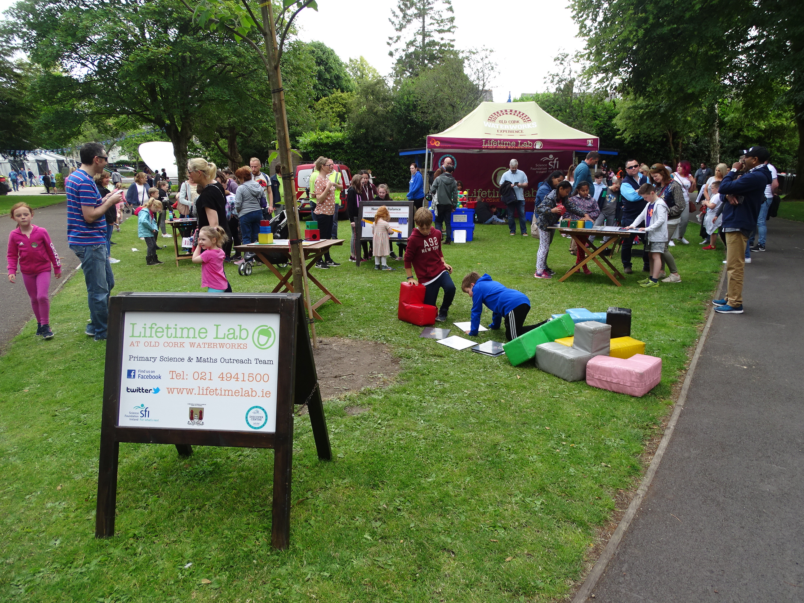
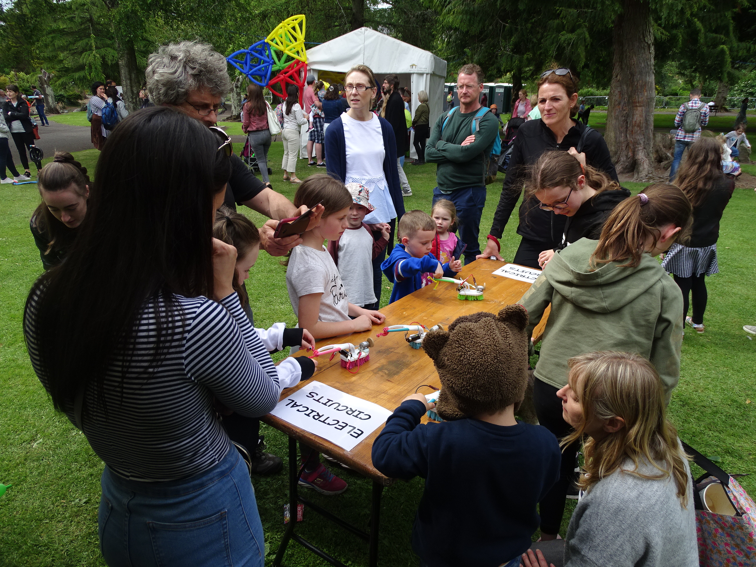
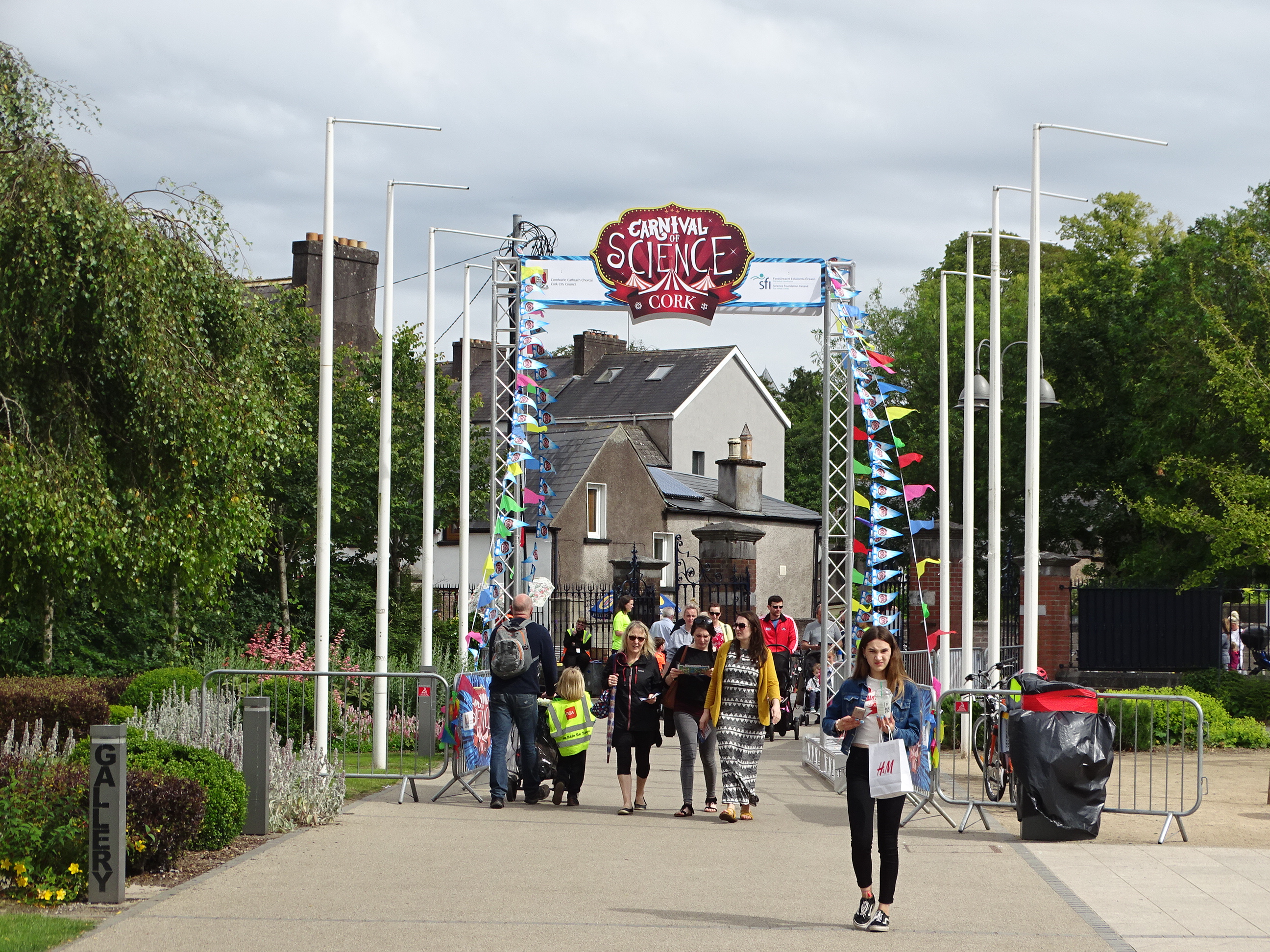
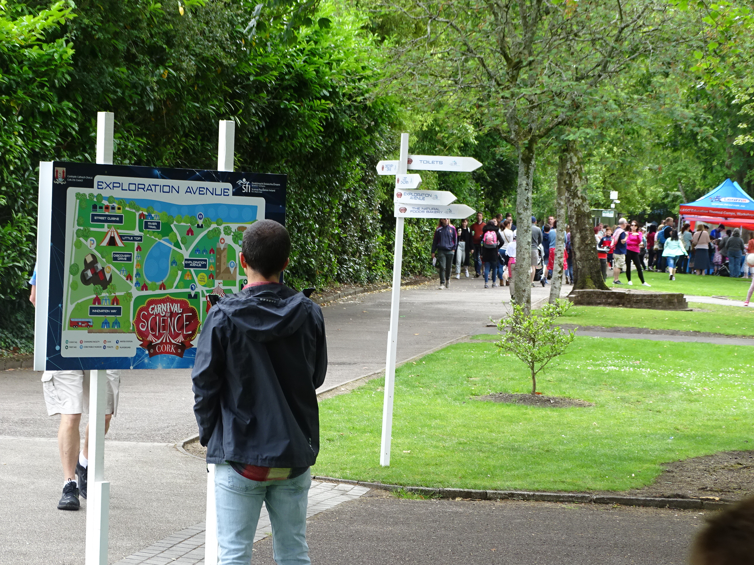
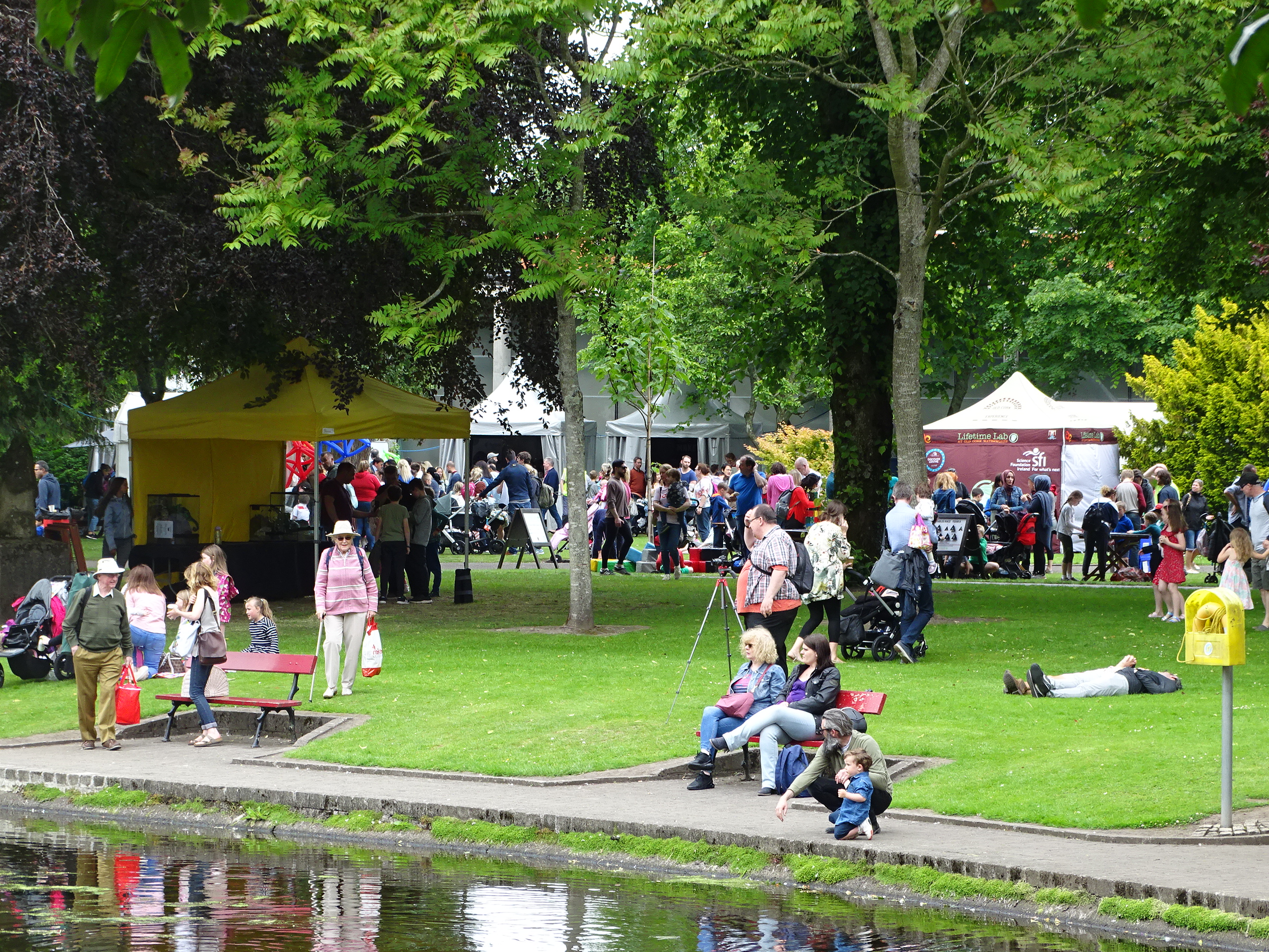
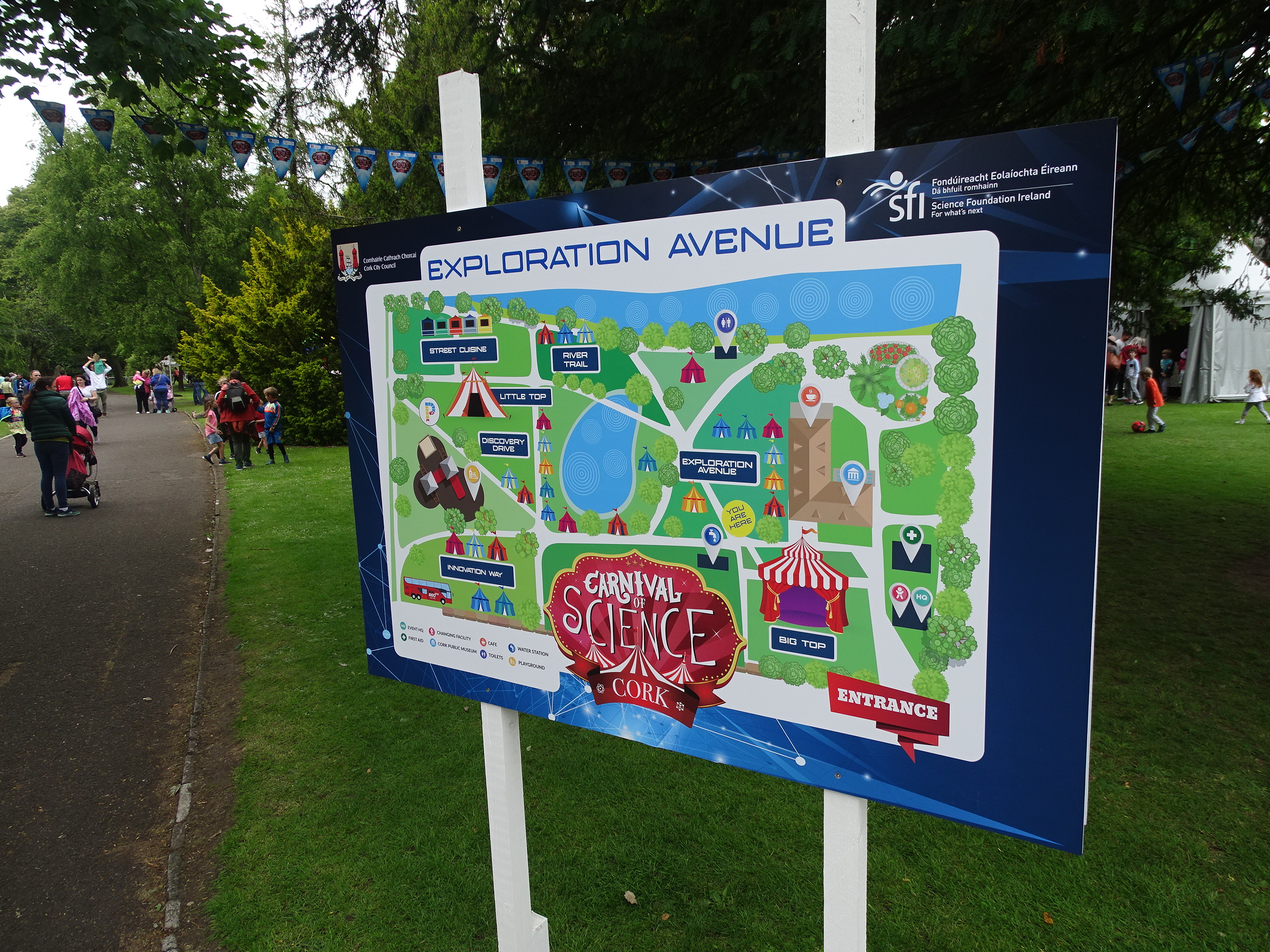
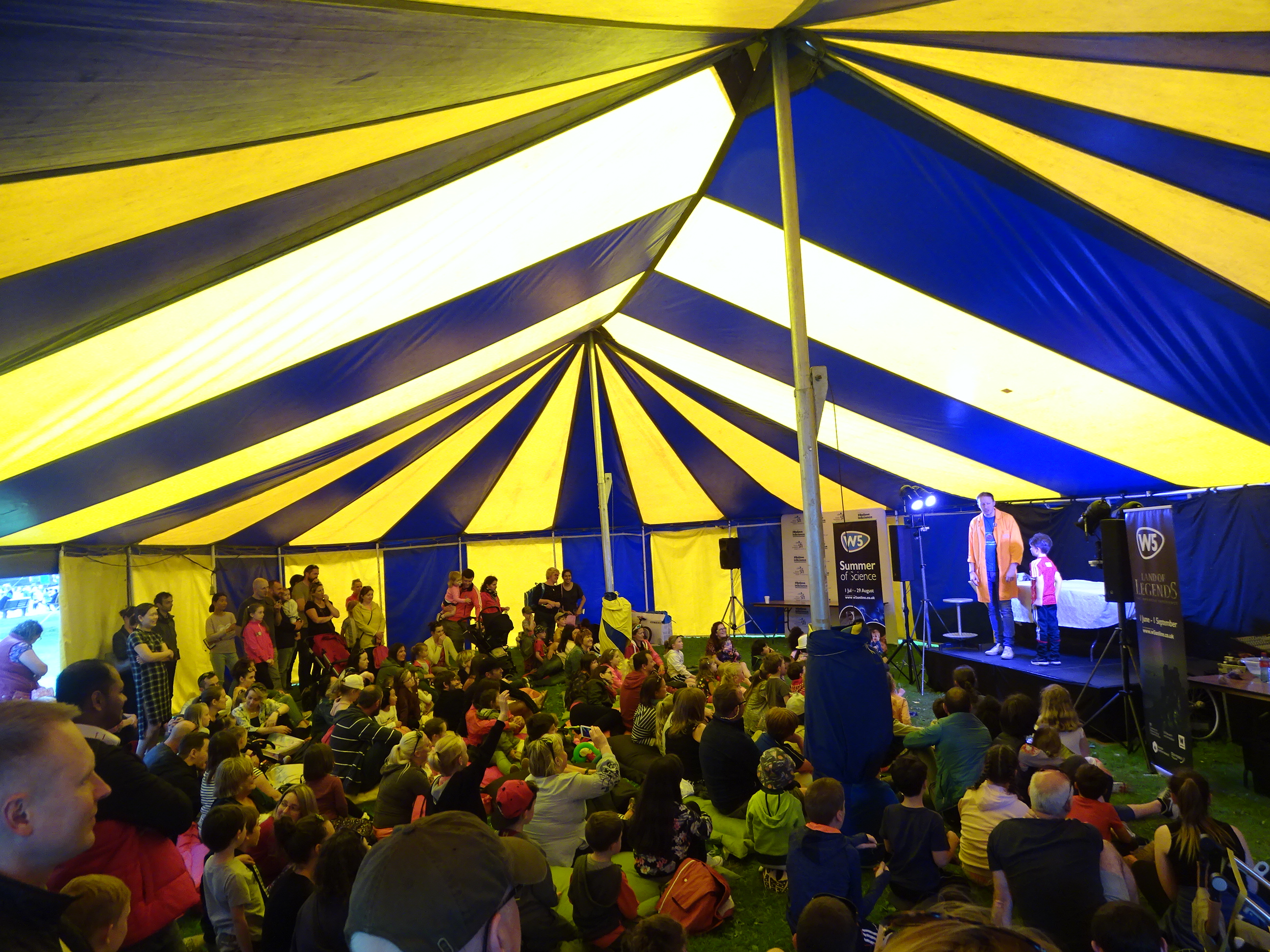
Well done to Mervyn Horgan of the Lifetime Lab for his brainchild and to the principal sponsor Science Foundation Ireland with the support of Cork City Council 🙂
On the second week of June 1919, a strike of the Cork tramway employees occurred, which threatened to cause a serious dislocation in transport movement in the city. Recorded in the Cork Examiner in May 1919 the employees put in their claim on the lines of the national demand for a weekly wage of 50s and a 49-hour week. The notice expired on Saturday 6 June but on the timely intervention of Capuchin priest Fr Thomas Dowling, he recommended the men to lay their claims and concerns before a conciliation board. In the meantime, the men agreed to continue working.
Fr Thomas had a great interest in social reform especially in the work of mediation and arbitration between employers and trade unions. In late February 1919, he succeeded in establishing a Cork Conciliation Board and was its first president. It consisted of four delegates from the Employers’ Federation and four appointed by the Cork and District Trade and Labour Council.
The request for an increase in the wage of the tram workers came before the conciliation board on 10 June at a special meeting at 7pm held at the Fr Mathew Hall, where Fr Thomas presided. Mr Edward Lynch of the Transport Workers represented the men, and Mr N H Nalder and Mr Whiting appeared for the Cork Electric and Lighting Company. An award of 4s per week increase with a reduction in working hours was agreed upon, and this finding was tentatively ratified at the meeting.
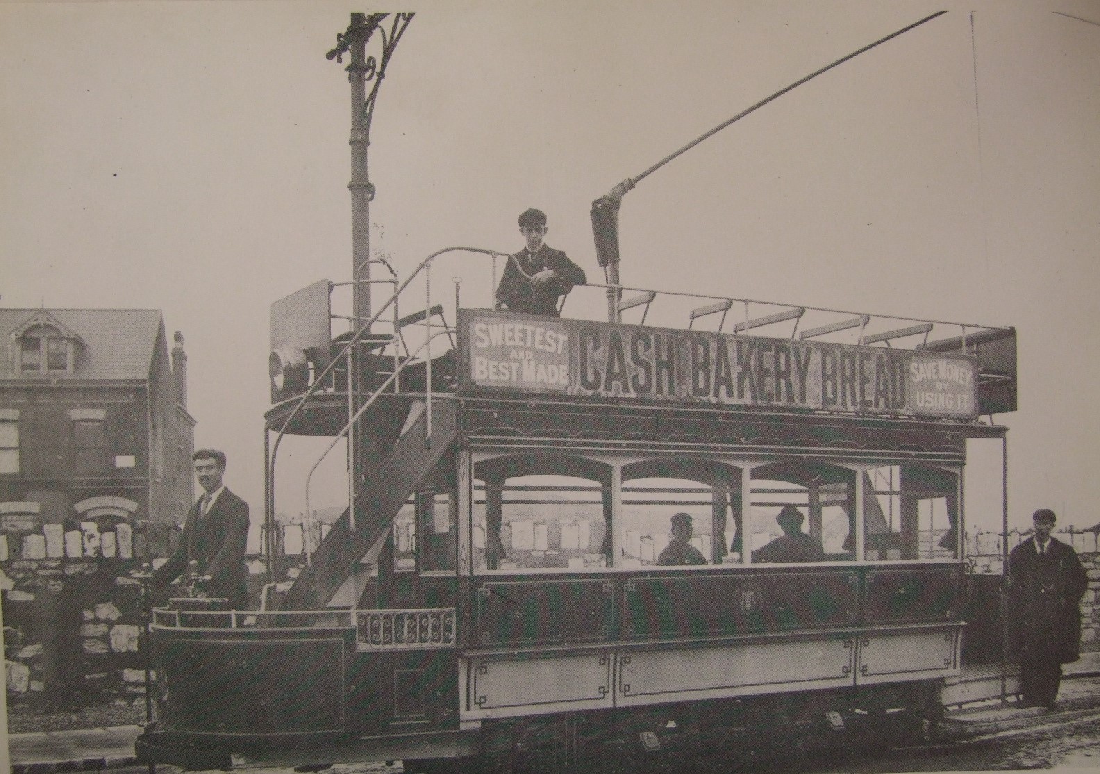
In the first two decade of the 1900s, the electric trams of Cork City played a large part in providing much needed public transport. Professional men living in the suburbs and working in the city used the service regularly. On the other side of the social scale, city dwellers such as domestic services with jobs in the large houses in the suburbs travelled out using the trams.
In 1919, 35 electric tram cars operated throughout the city and suburbs. These were manufactured in Loughborough, UK. All were double deck in nature, open upstairs with a single-truck design. There were minor variations in many of the cars. Six of the trams had a luxury design. They had a longer roof and their ends were curved, which provided extra seating upstairs and a cover for the driver and conductor. Passengers on the lower level sat on two long slated timber seats.
The various routes totalled 12 miles, starting from a common centre at the Father Mathew Statue on St Patrick’s Street, and radiating from this to the various termini at Sunday’s Well, Summerhill, Blackpool, Douglas, Tivoli, and Blackrock. Large white indicator boards at the front of the trams identified their destination. These had the initials of the terminus or where the tram was travelling. For example, Blackpool was shown by BP and Douglas by DS. By 1919, small rectangular plates in different colours replaced the boards. Each displayed the full name of the destination. The name was located over the numbers and on the side of the cars as follows; Douglas-white; Blackrock-brown, Tivoli-yellow; Sunday’s Well and Summerhill-red and Blackpool-dark blue. To identify clearly the trams at nights, the relevant officials fitted lighted bulbs of the different colours. Instead of a brown bulb for Blackrock, a green bulb was used.
On the majority of the routes, there were outbound and city bound tram tracks. However, on a number of routes, especially the Douglas and Blackrock routes, single-track sections were in operation. Thus, when the driver reached the end of the loop and therefore, the entry to a single-track section, he left his platform. He then went to a box on an adjacent pole, flicked a switch, which turned on a light on the pole at the other end of the track. This warned any drivers of any approaching trams.
The annual general meetings for the Cork Electric Tramways Company in the decade of the 1910s reveal ongoing maintenance. In 1913 increases in station expenses were witnessed mainly because of coal and maintenance of the plant. The system of supply was direct current, at a pressure of 500 volts taken from an overhead line by the trolley of the tram cars, the power being generated at the Company’s generating station at Albert Road (now the National Sculpture Factory). There were also lighting and power expenses for maintaining cables on streets. In 1916 it is recorded at the company’s AGM that one of the original 225 KW generating sets, was replaced. This small set has had to be removed to provide space for a new turbine, which was to provide extra voltage capacity.
During the First World War, stores of fuel materials were stocked up – over £1,400 worth of coal to make sure fuel shortage did not become an issue. Despite war conditions the fares charged were still amongst the lowest between Britain and Ireland. For example, from the Statue to Blackrock, the distance was 3.3 miles with a single fare, 2d. Circa 1900, a single fare to any of the suburbs served by the trams was one penny. The fare did rise up to three and half pence by 1910 but had dropped to two pence by 1930.
In 1919, the tram cars ran from 7.45 am to 11.20 pm, with intervals varying from 6 minutes on the Summerhill and Sunday’s Well routes, to 10 minutes on the Douglas and Blackrock routes. Since the system was started in 1898 the Cork Electric and Lighting Company had, on an average, carried about 6 million passengers per year.
Kieran’s Next Walking Tours:
Saturday, 22 June, The Friar’s Walk; historical walking tour with Kieran; Discover Red Abbey, Elizabeth Fort, Barrack St, Callanan’s Tower & Greenmount area; Meet at Red Abbey tower, off Douglas Street, 11am; free, duration: two hours.
Sunday 23 June, The Lough & its Curiosities; historical walking tour with Kieran, explore the local history from the Legend of the Lough to suburban development; meet at green area at northern end of The Lough, entrance of Lough Road to The Lough; 2.30pm (free, duration: two hours).
Captions:
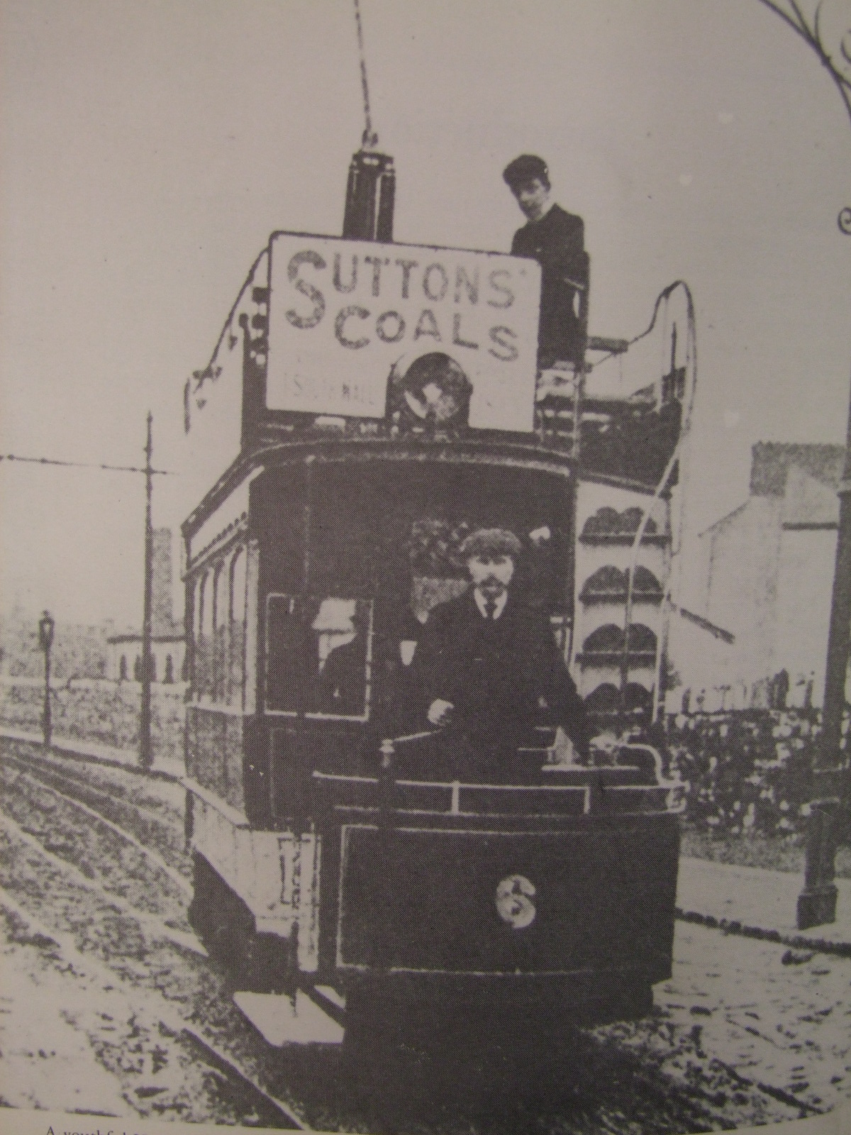
1002a. N H Nalder on upper deck of no.6 on Albert Road (c.1900) from W McGrath’s Tram Tracks Through Cork (source: Cork City Library).
1002b. A sleepy Douglas Village with tramcar, c.1901 from W McGrath’s Tram Tracks Through Cork (source: Cork City Library).